Hesquiat Peninsula Provincial Park late June 2026
Hesquiat Peninsula Provincial Park late June 2026
On the wild Pacific coast of Vancouver Island, positioned between Nootka Island and Hot Springs Cove, will be is our home for the next eight days. Beautiful beach landscapes, but countering that are obstacles that will challenge your adventure.
For more information: maps and details
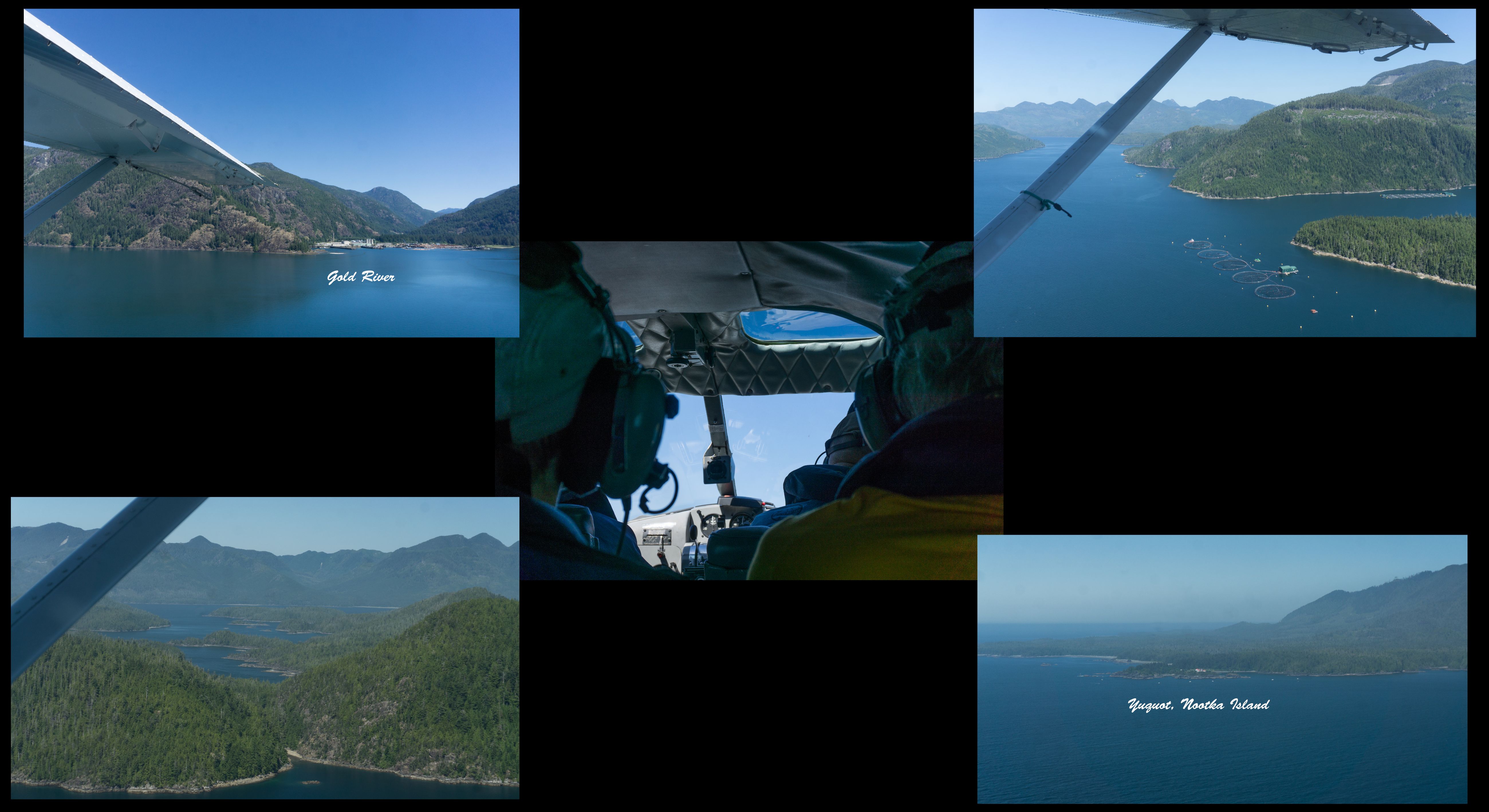
2026-06-20, 11:08 a.m.
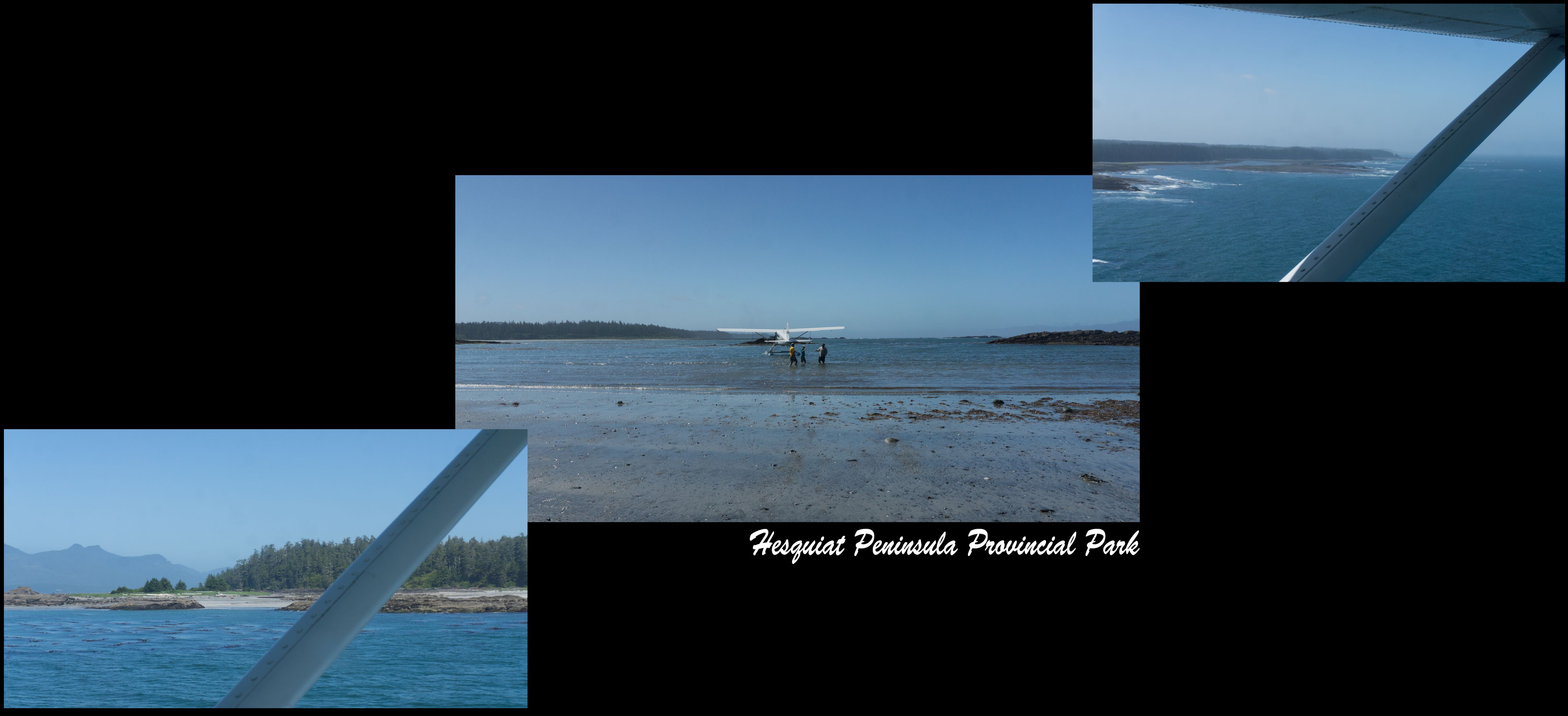
Day 1: Dropped off in the shelter waters of Escalante Island 2026-06-20, 11:37 a.m.
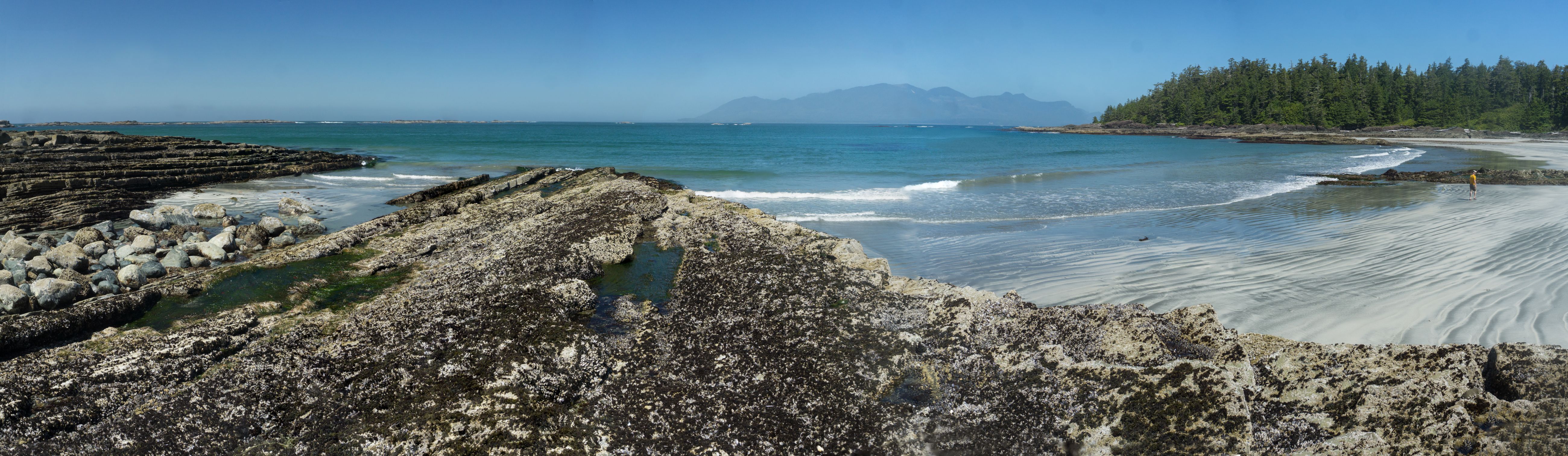
2026-06-20, 12:06 p.m.
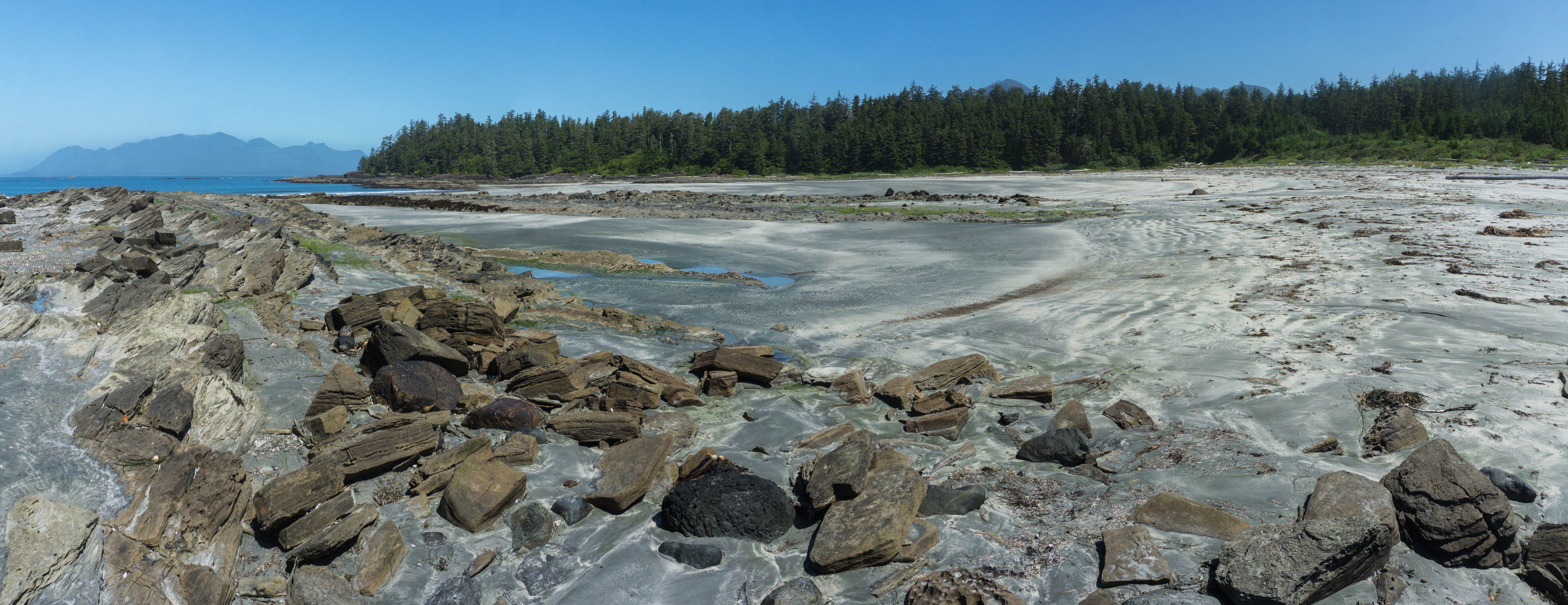
2026-06-20, 11:56 a.m.

2026-06-20, 11:57 a.m.

2026-06-20, 12:00 p.m.
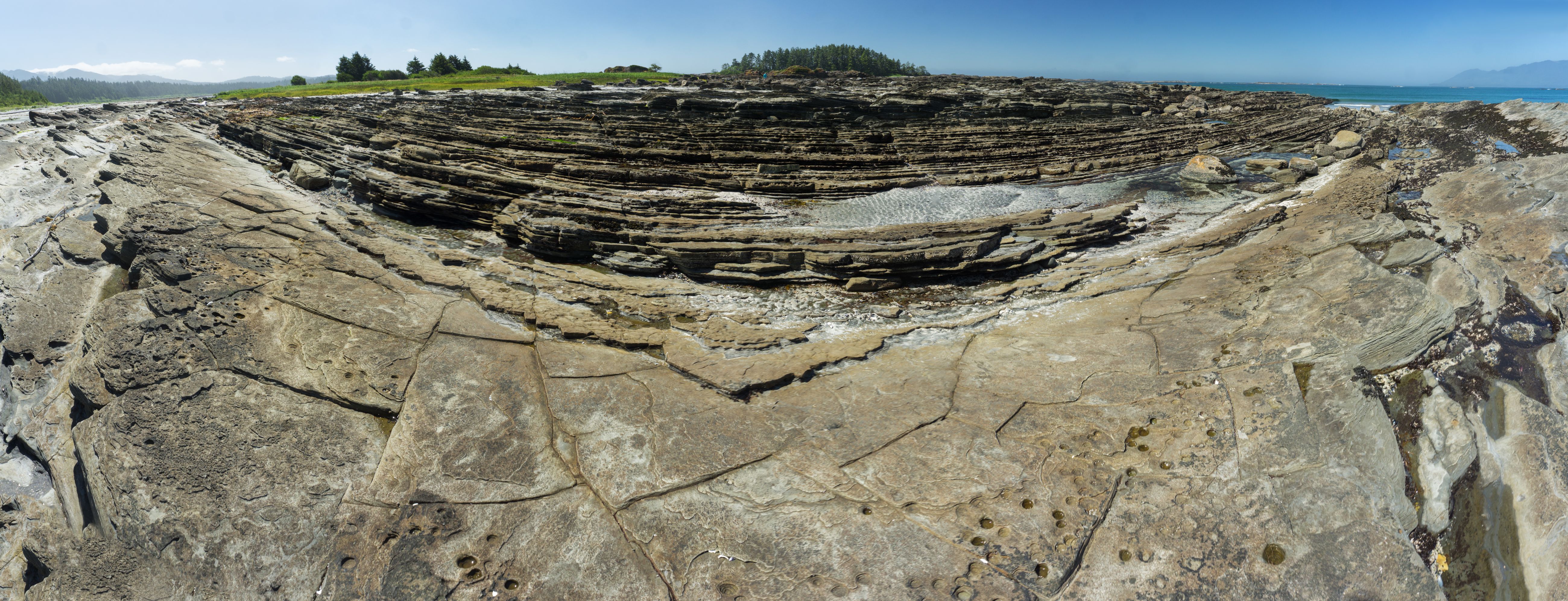
2026-06-20, 12:03 p.m.
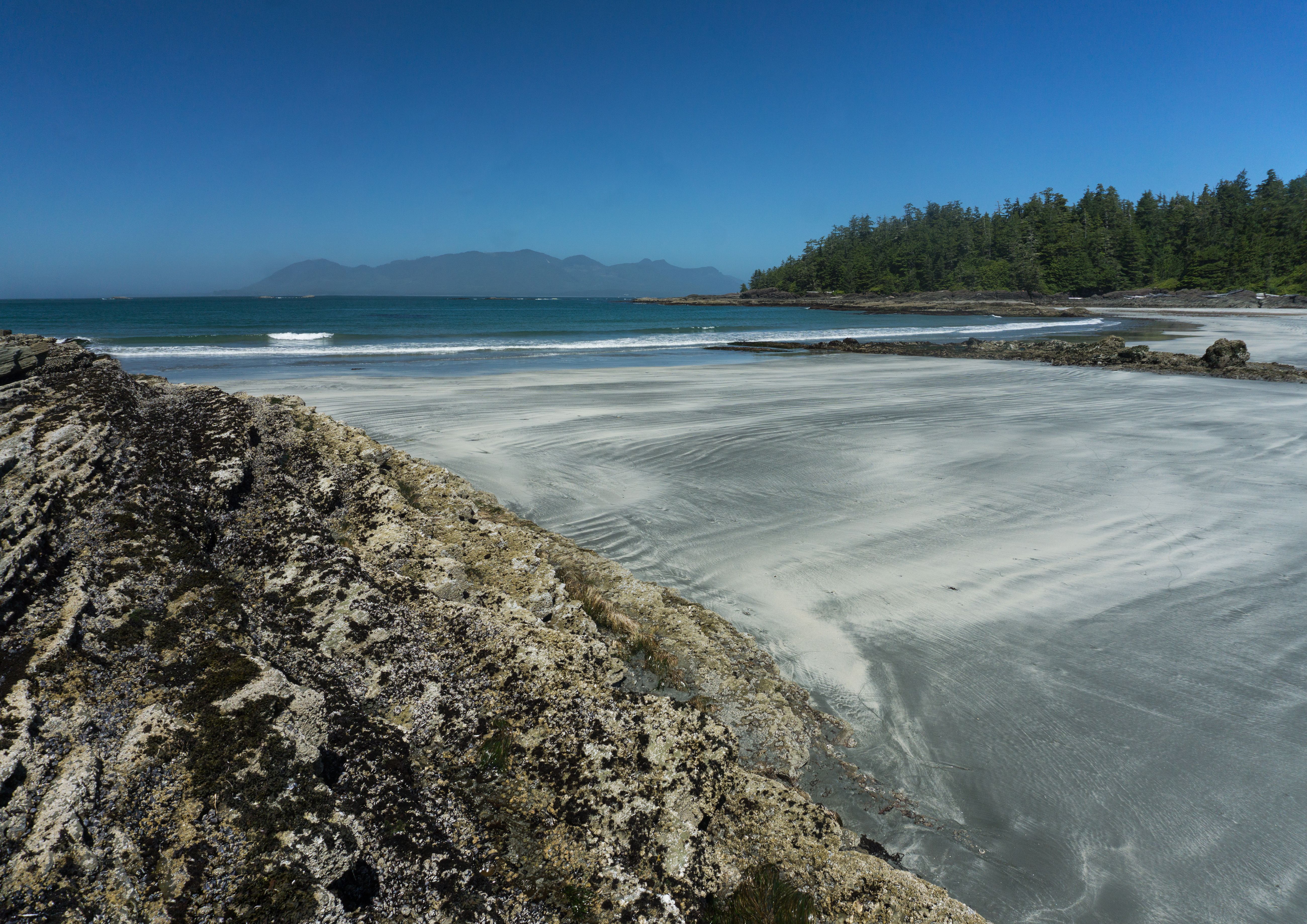
land mass on the other side of water is Nootka Island 2026-06-20, 12:05 p.m.
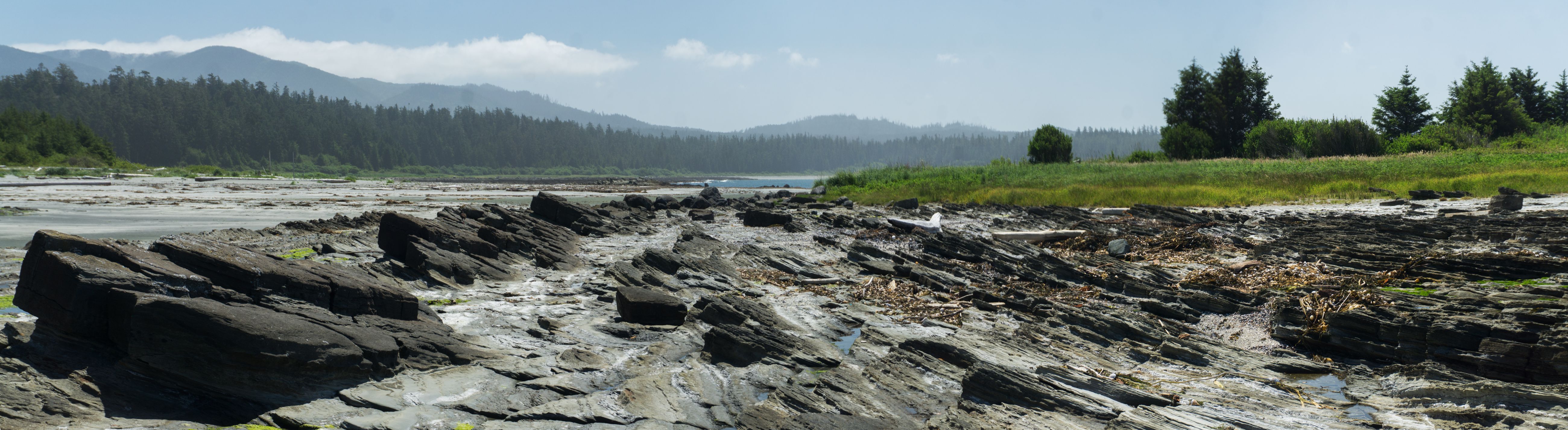
2026-06-20, 12:08 p.m.
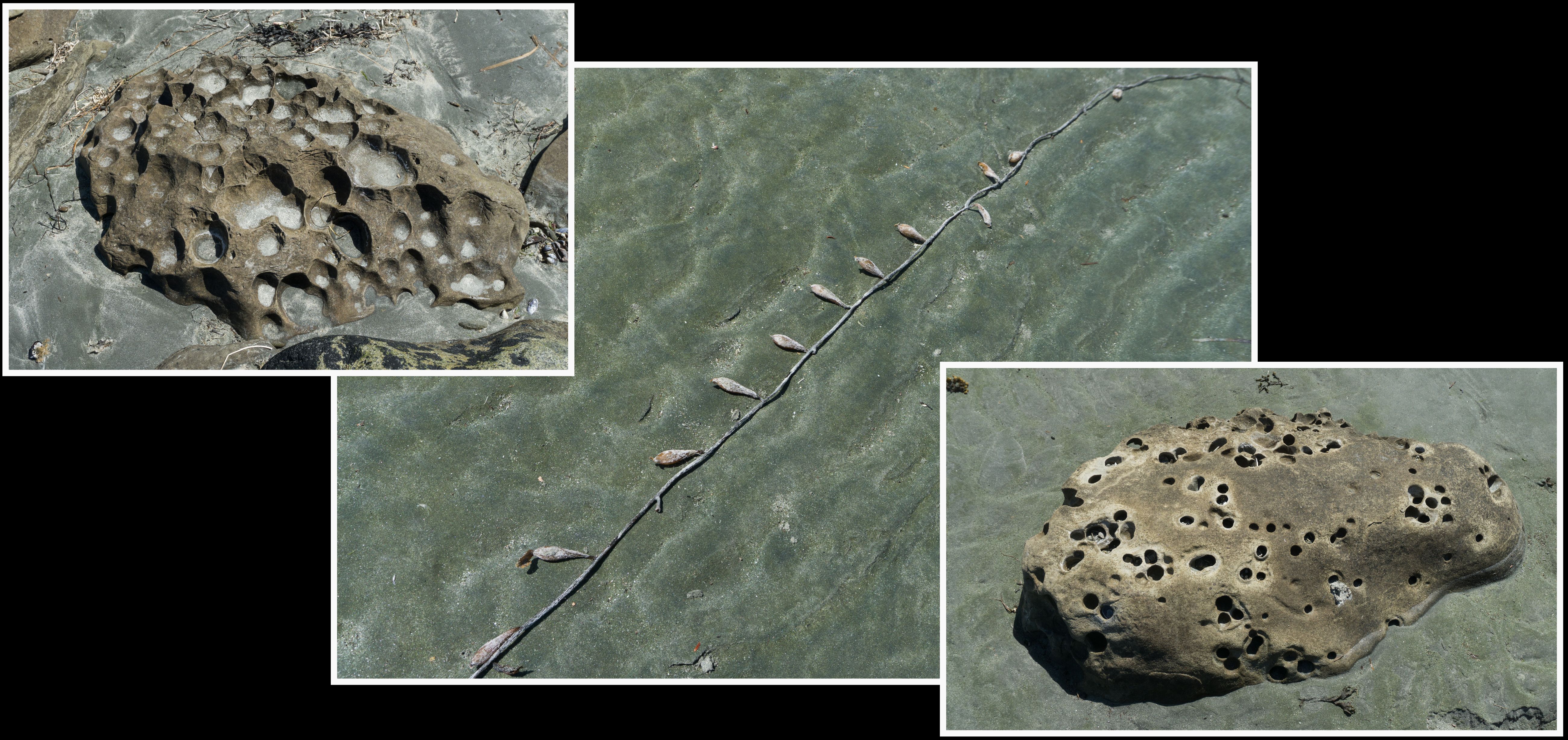
2026-06-20, 12:12 p.m.
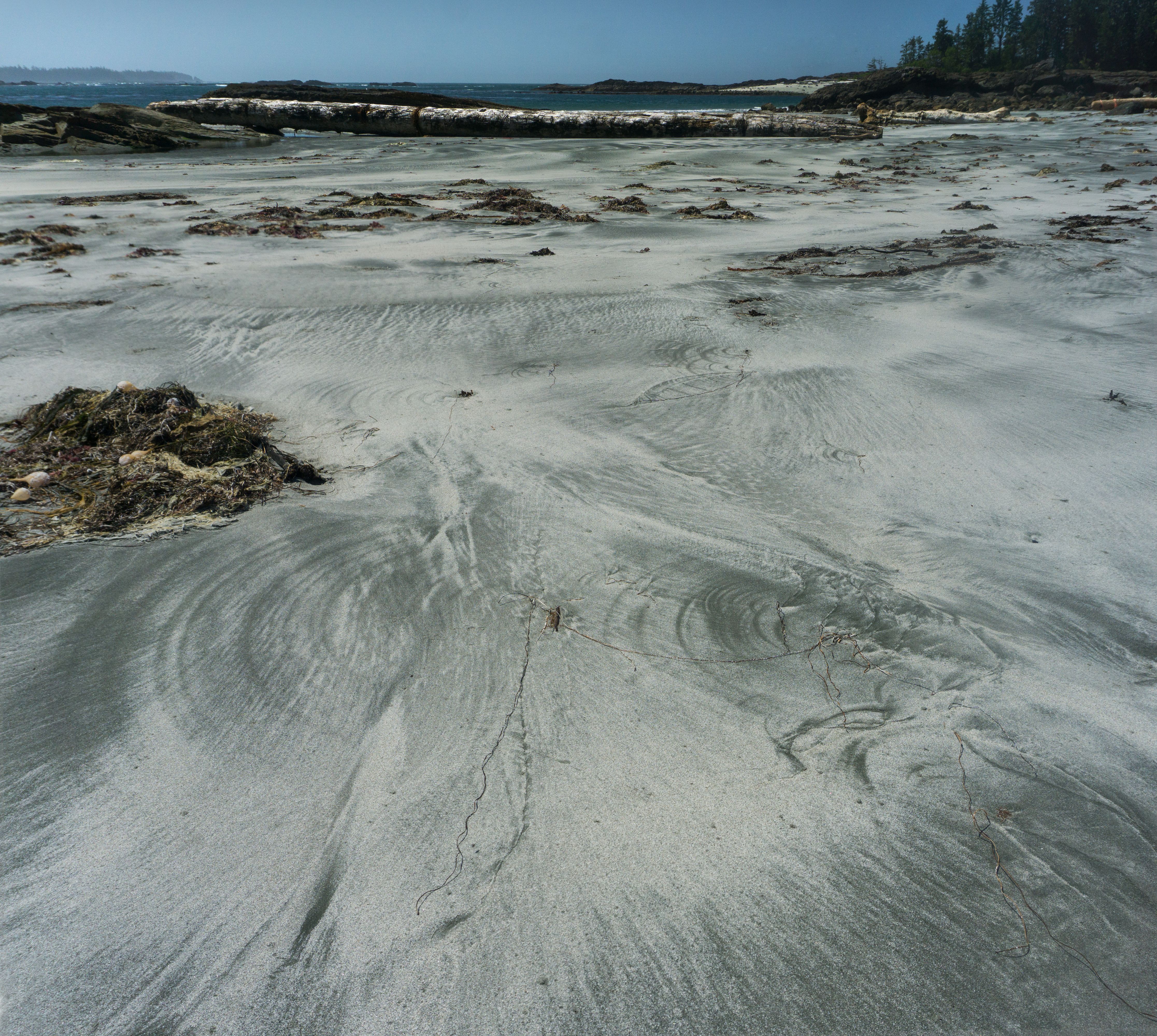
2026-06-20, 12:13 p.m.

2026-06-20, 12:17 p.m.
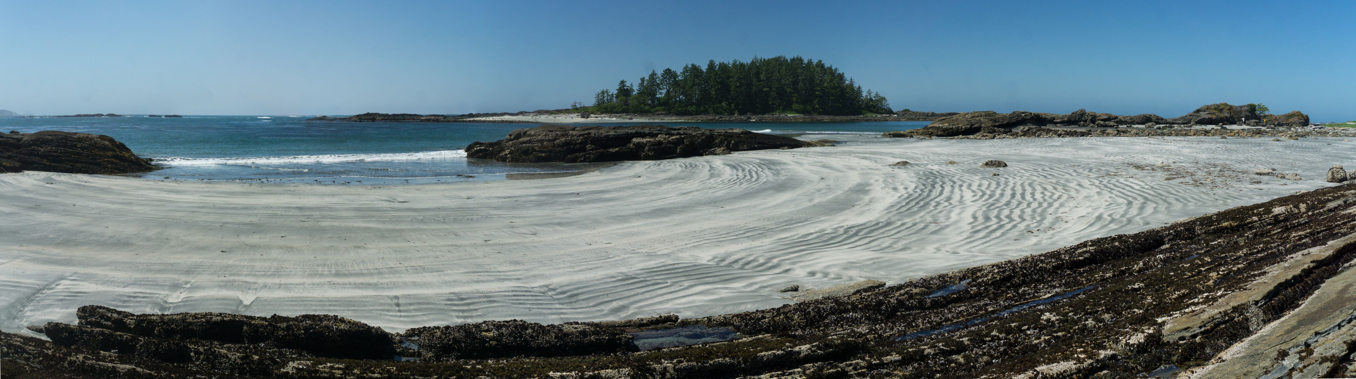
forested island of Escalante 2026-06-20, 12:22 p.m.

2026-06-20, 1:23 p.m.

2026-06-20, 1:38 p.m.

2026-06-20, 2:20 p.m.

2026-06-20, 3:58 p.m.
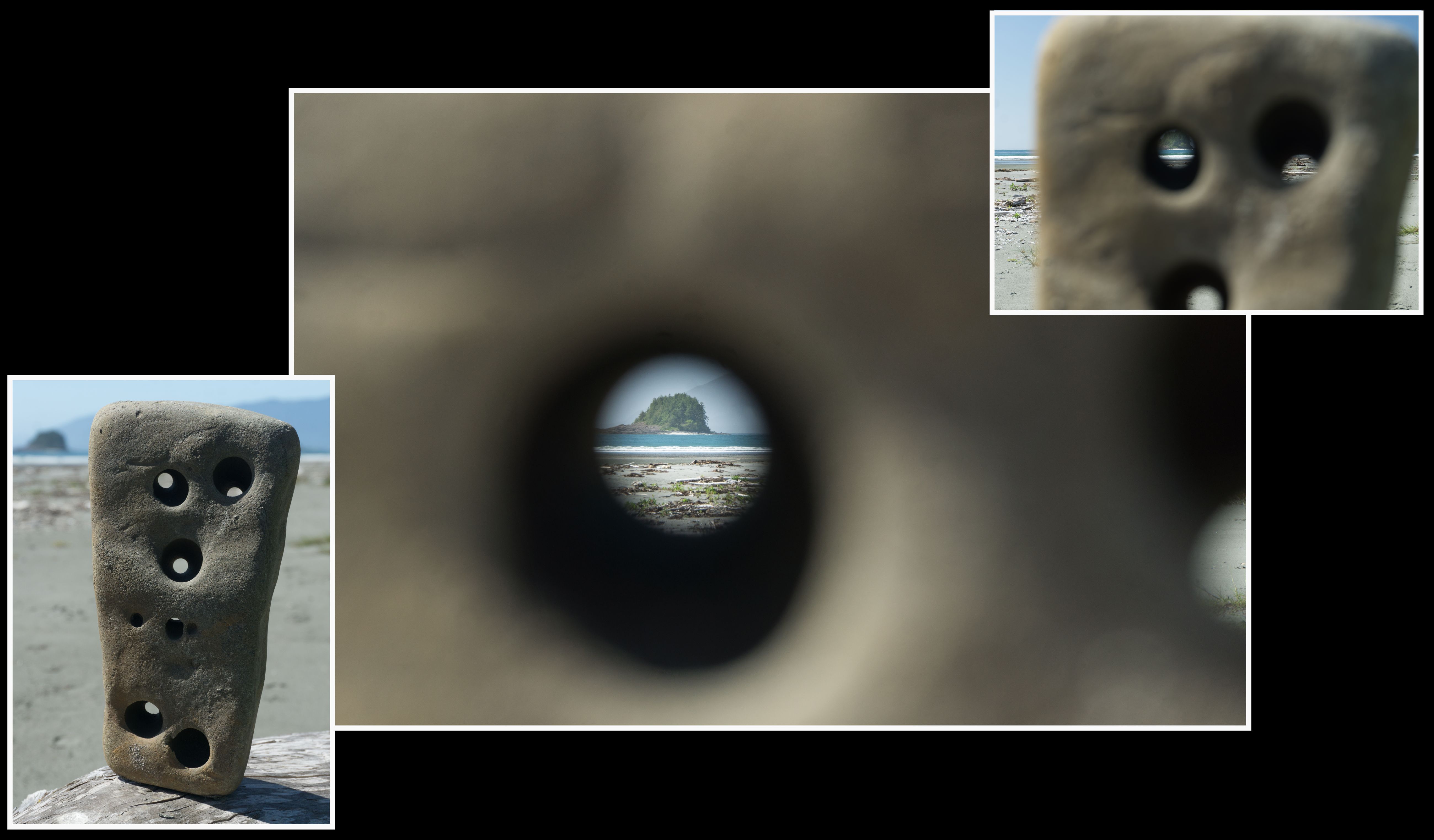
2026-06-20, 3:52 p.m.
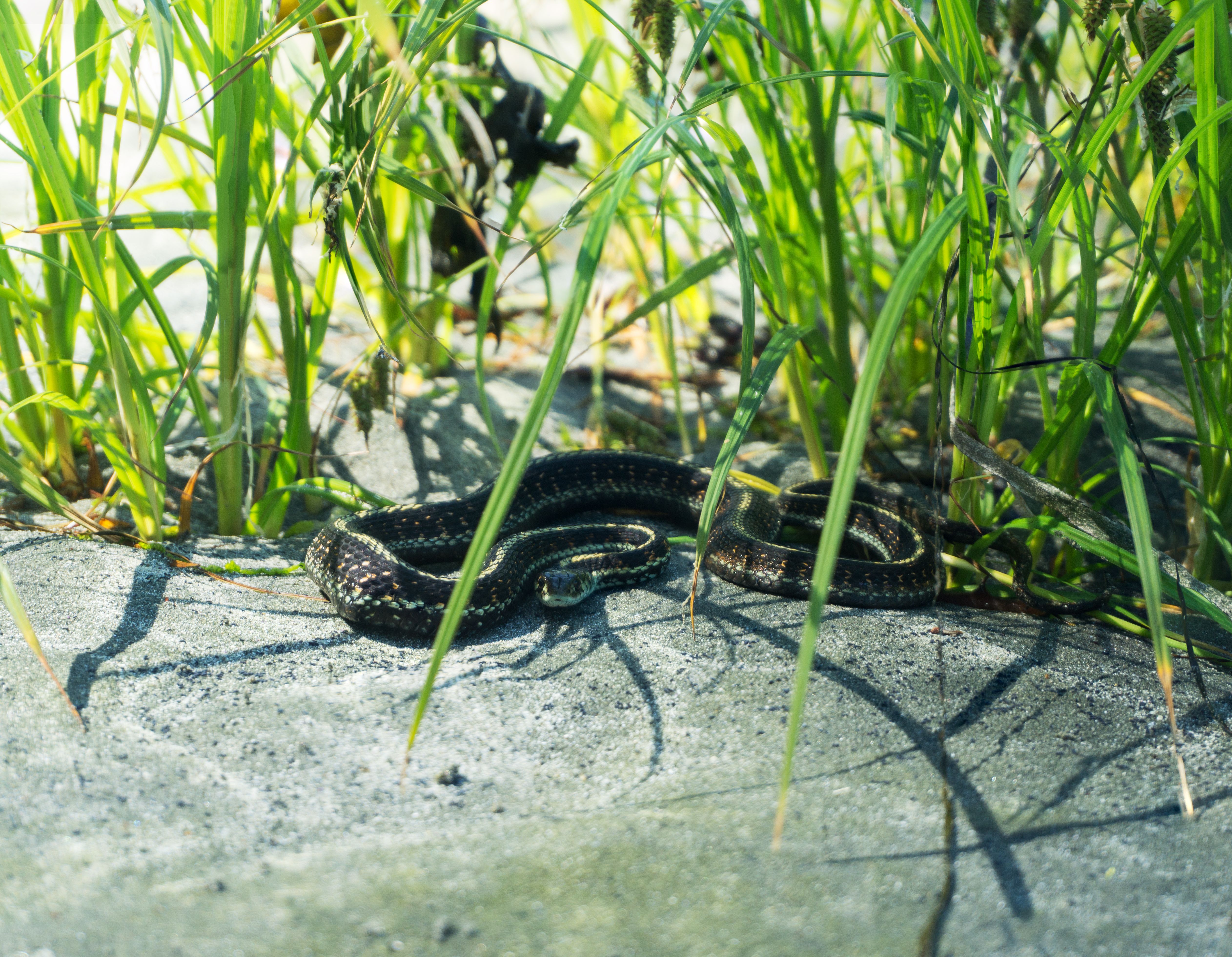
Thamnophis sirtalis (common garter snake) 2026-06-20, 4:05 p.m.

through Sony E 70-350mm f/4.5-6.3 G OSS lens (its inaugural backpacking trip; weight, 700g) 2026-06-20, 4:17 p.m.
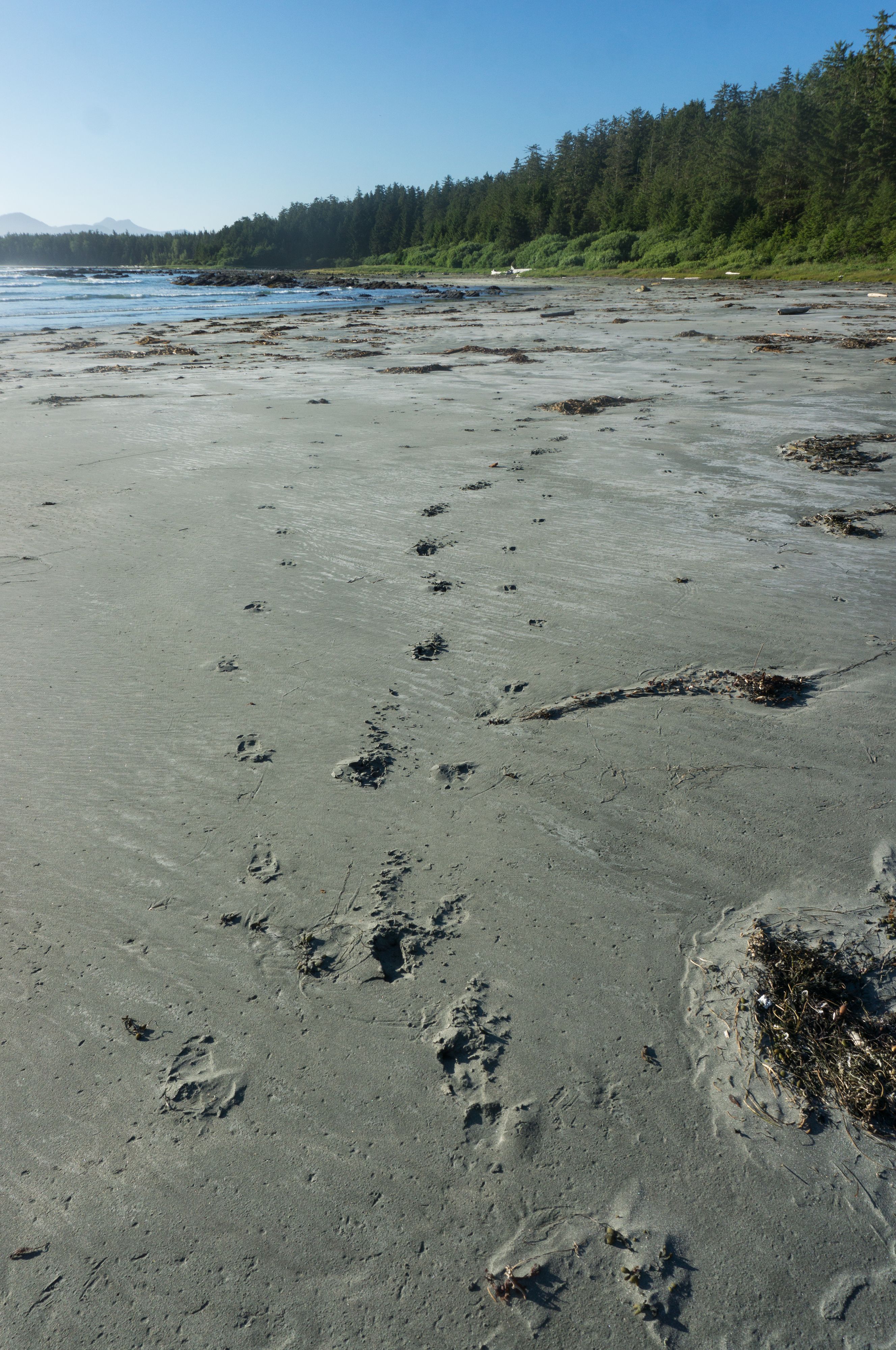
2026-06-20, 7:23 p.m.
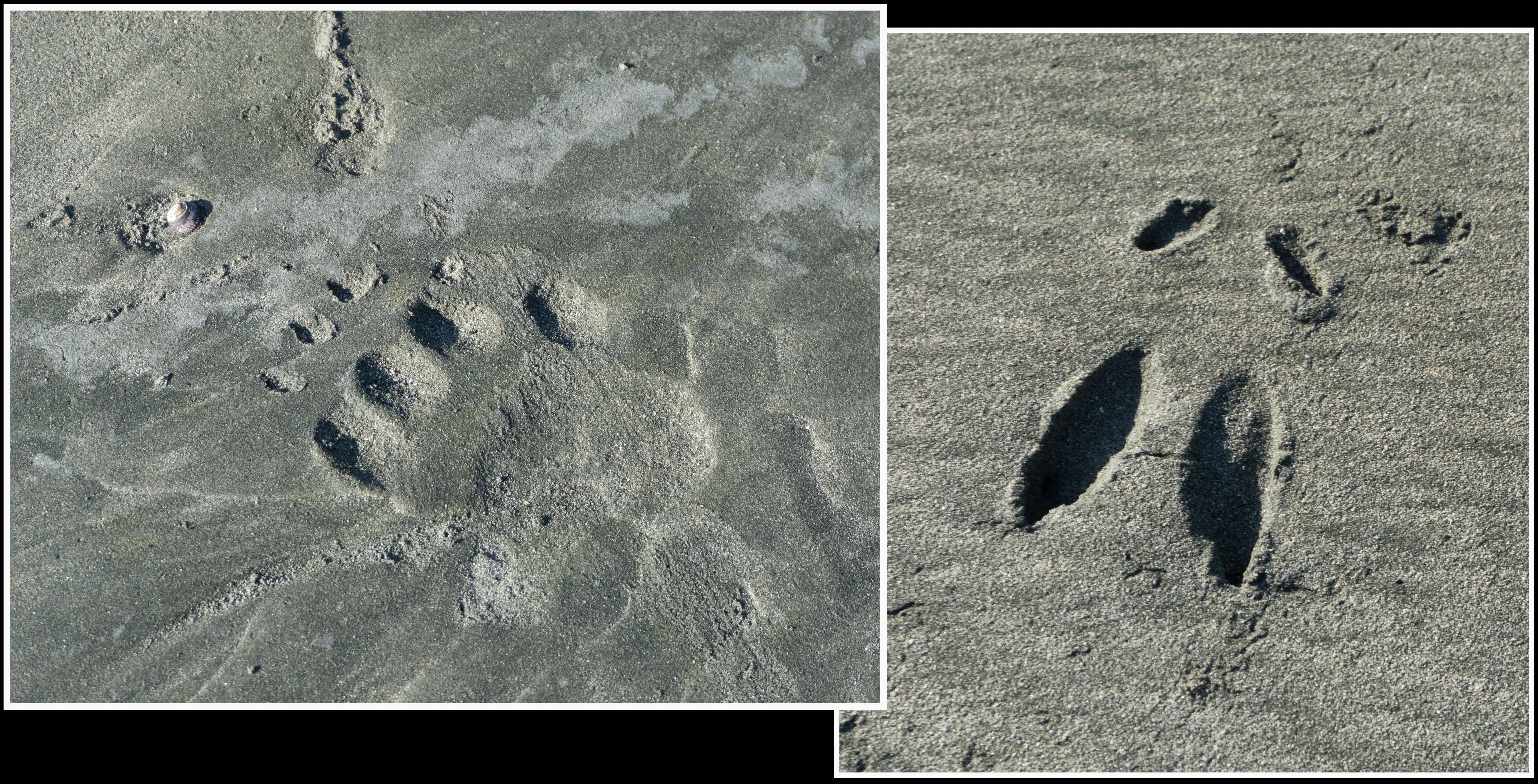
2026-06-20, 7:26 p.m.

2026-06-20, 7:30 p.m.

2026-06-20, 7:36 p.m.

2026-06-20, 7:38 p.m.

Iris pseudacorus (yellow flag iris, invasive species) 2026-06-20, 7:40 p.m.
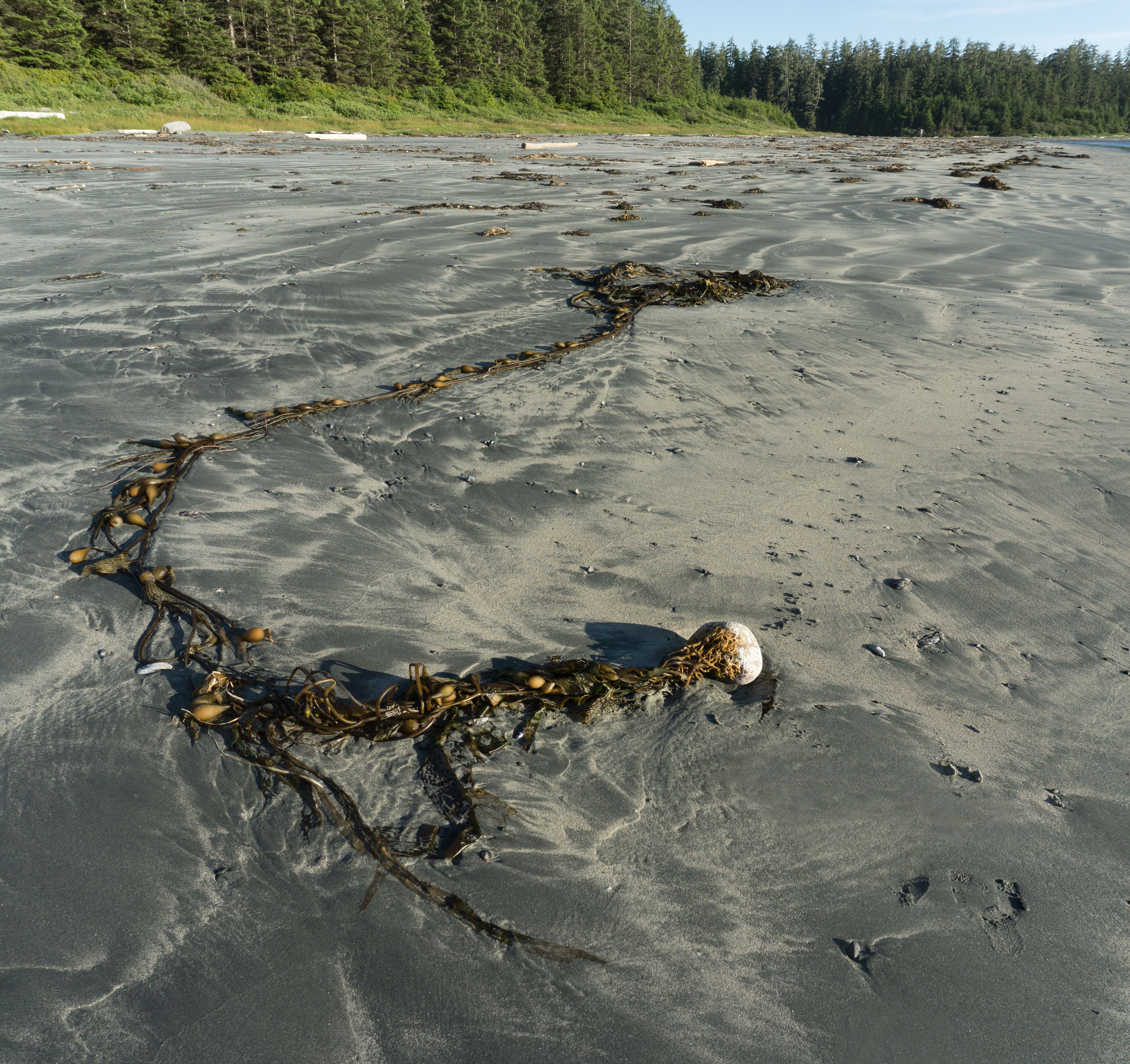
2026-06-20, 7:44 p.m.

sunset at first camp (N49.51216° W126.55124°). Escalante Is. just visible in the haze. 2026-06-20, 8:50 p.m.

day 2 2026-06-21, 10:54 a.m.
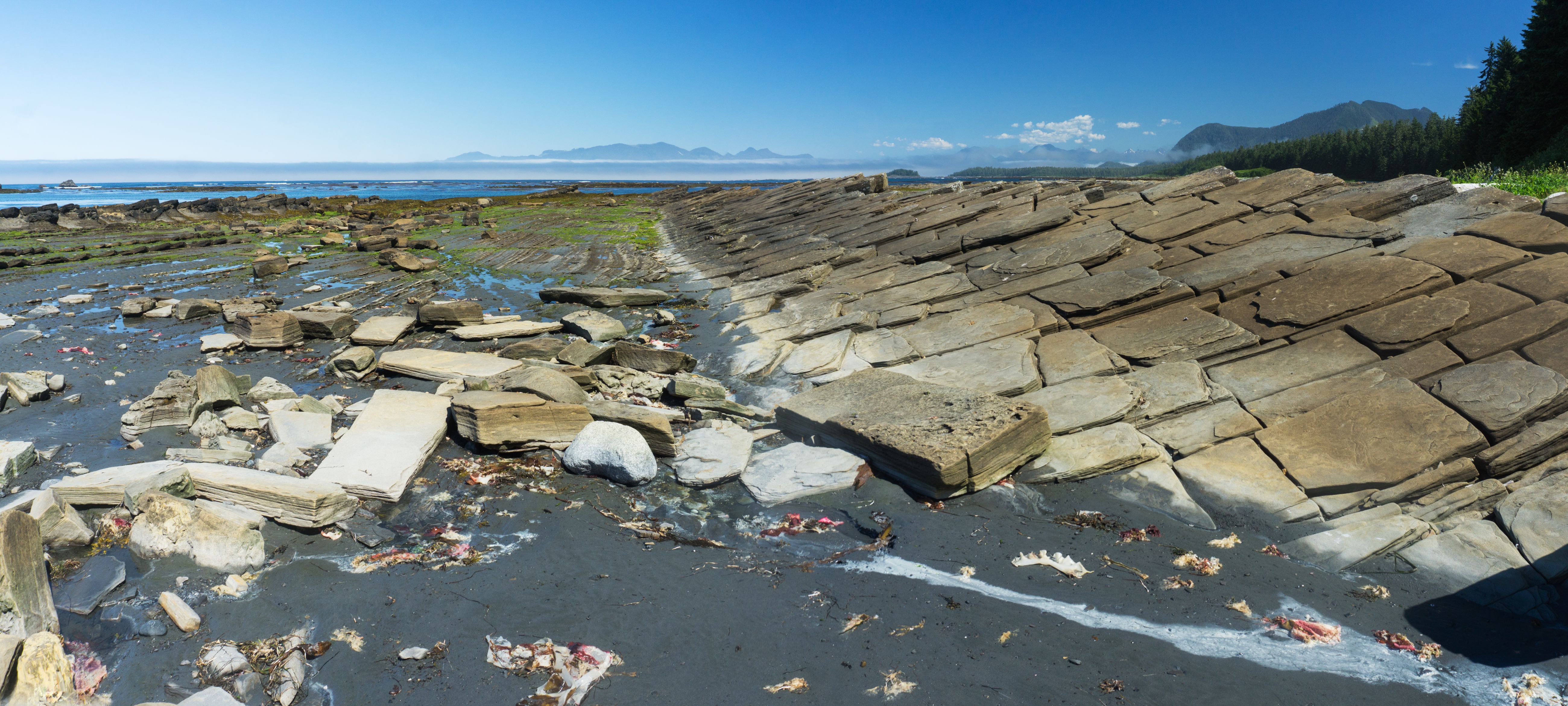
2026-06-21, 10:58 a.m.
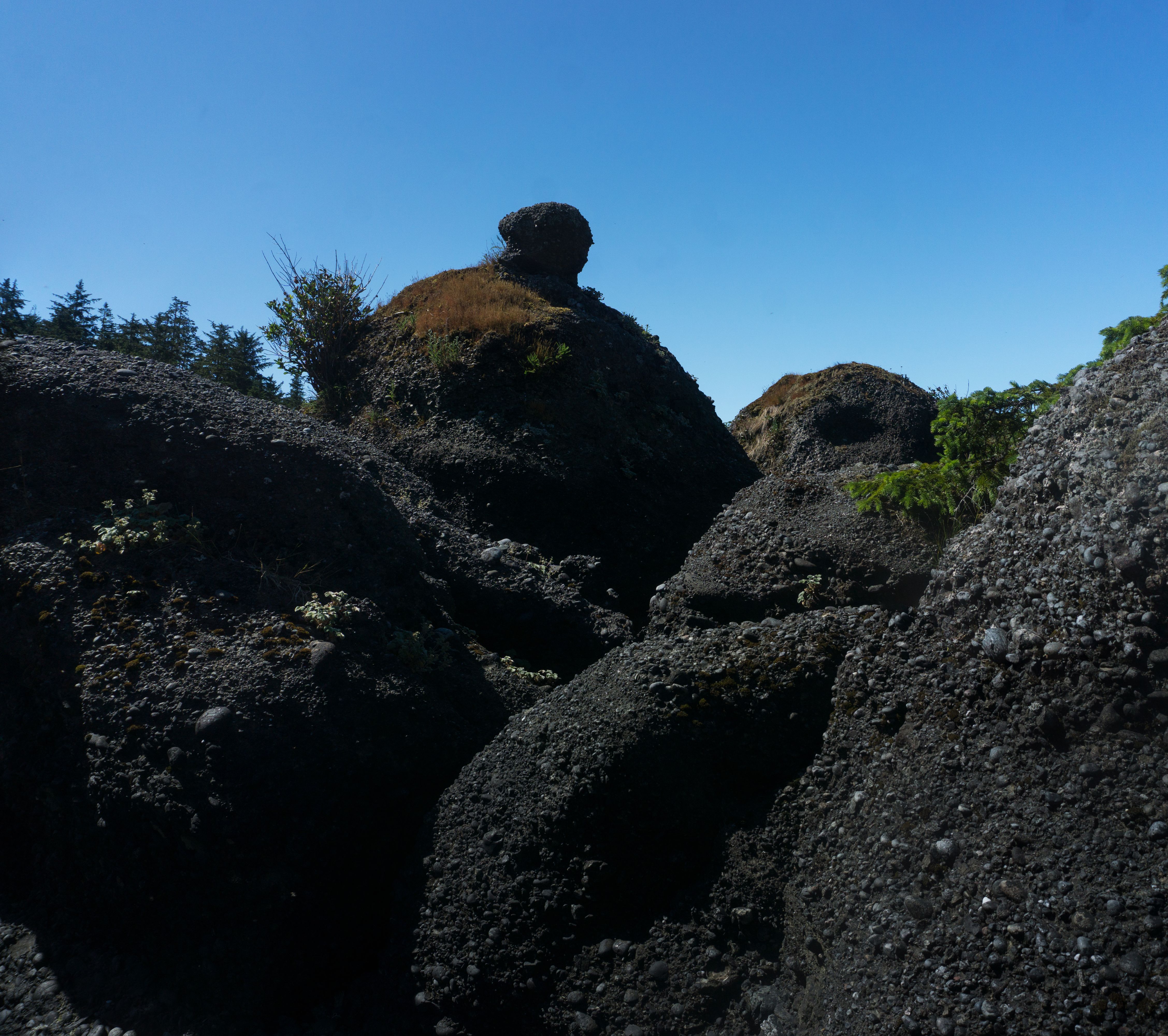
dark conglomerate outcrop 2026-06-21, 11:11 a.m.
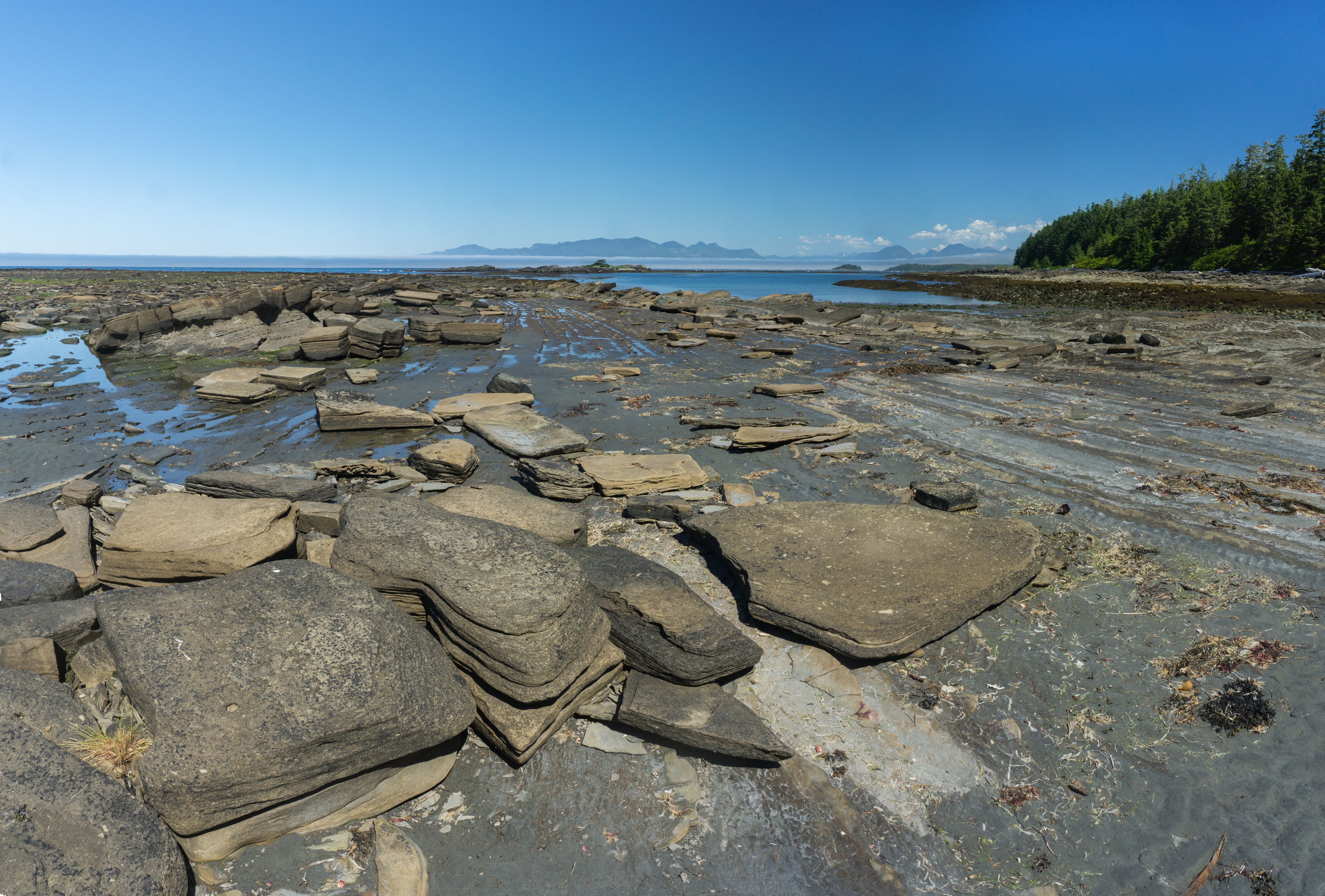
2026-06-21, 11:31 a.m.

2026-06-21, 11:43 a.m.
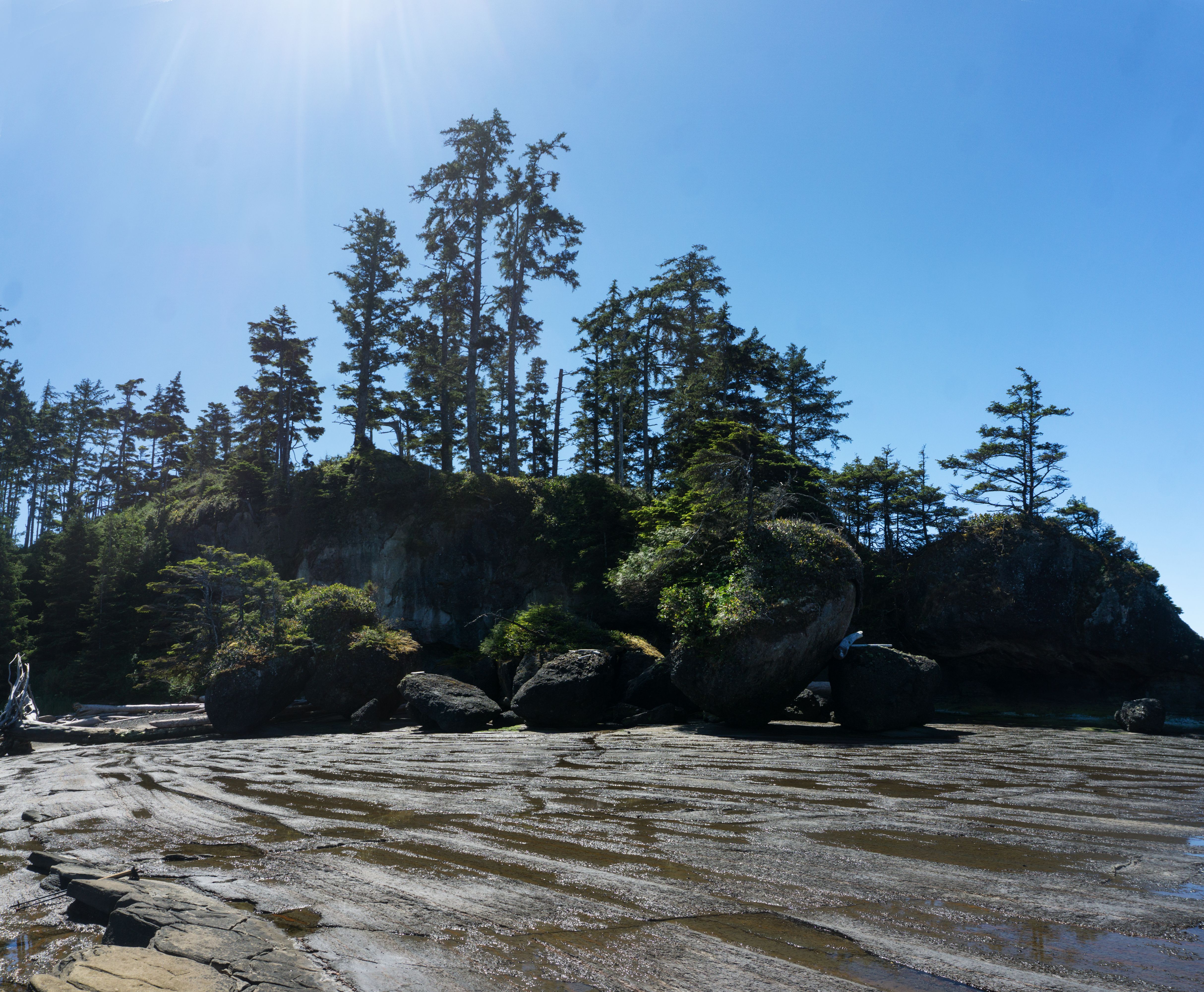
2026-06-21, 12:08 p.m.
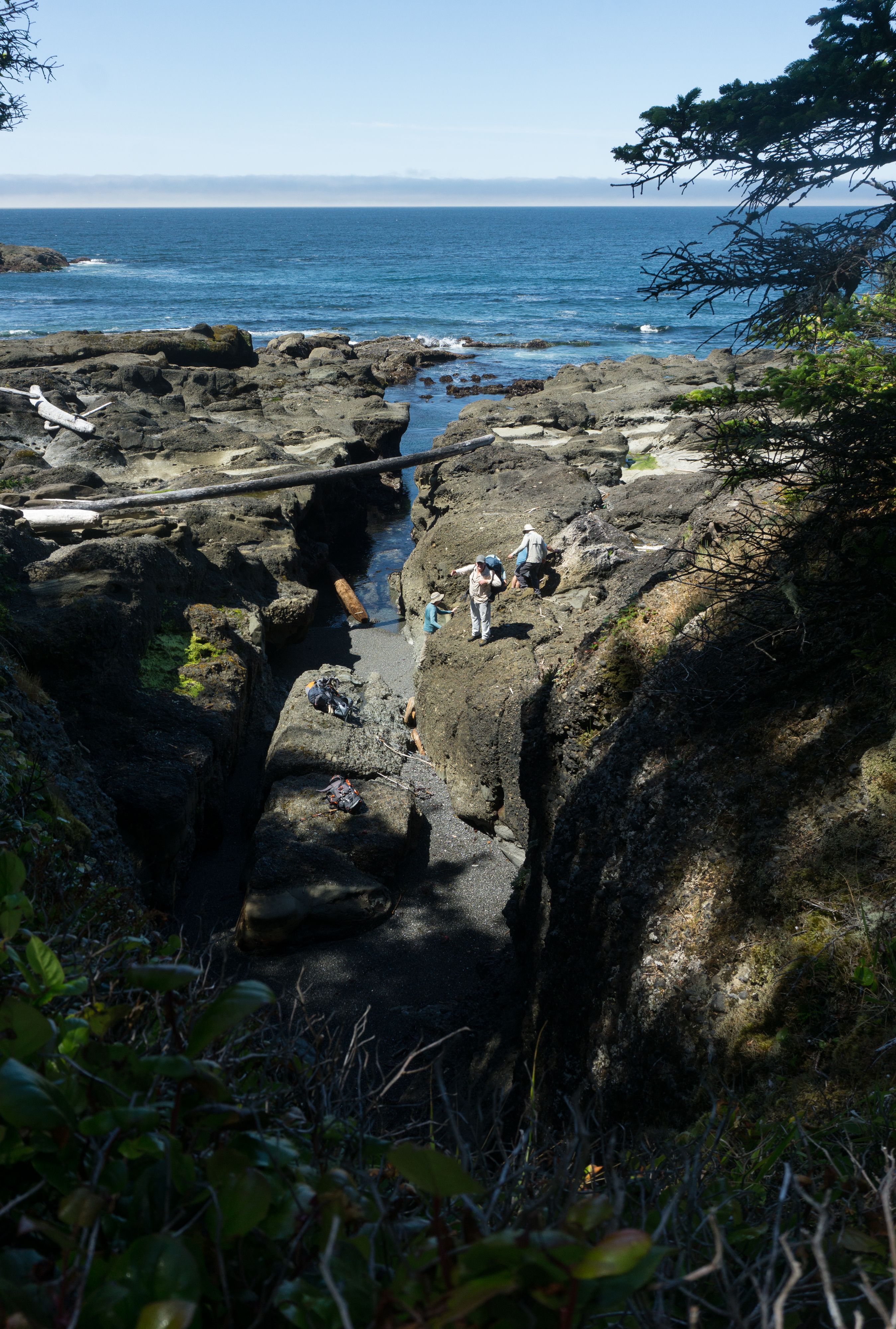
The Gulch, a 3-5m deep surge channel. Shot from the forest bypass. 2026-06-21, 12:19 p.m.

2026-06-21, 1:35 p.m.
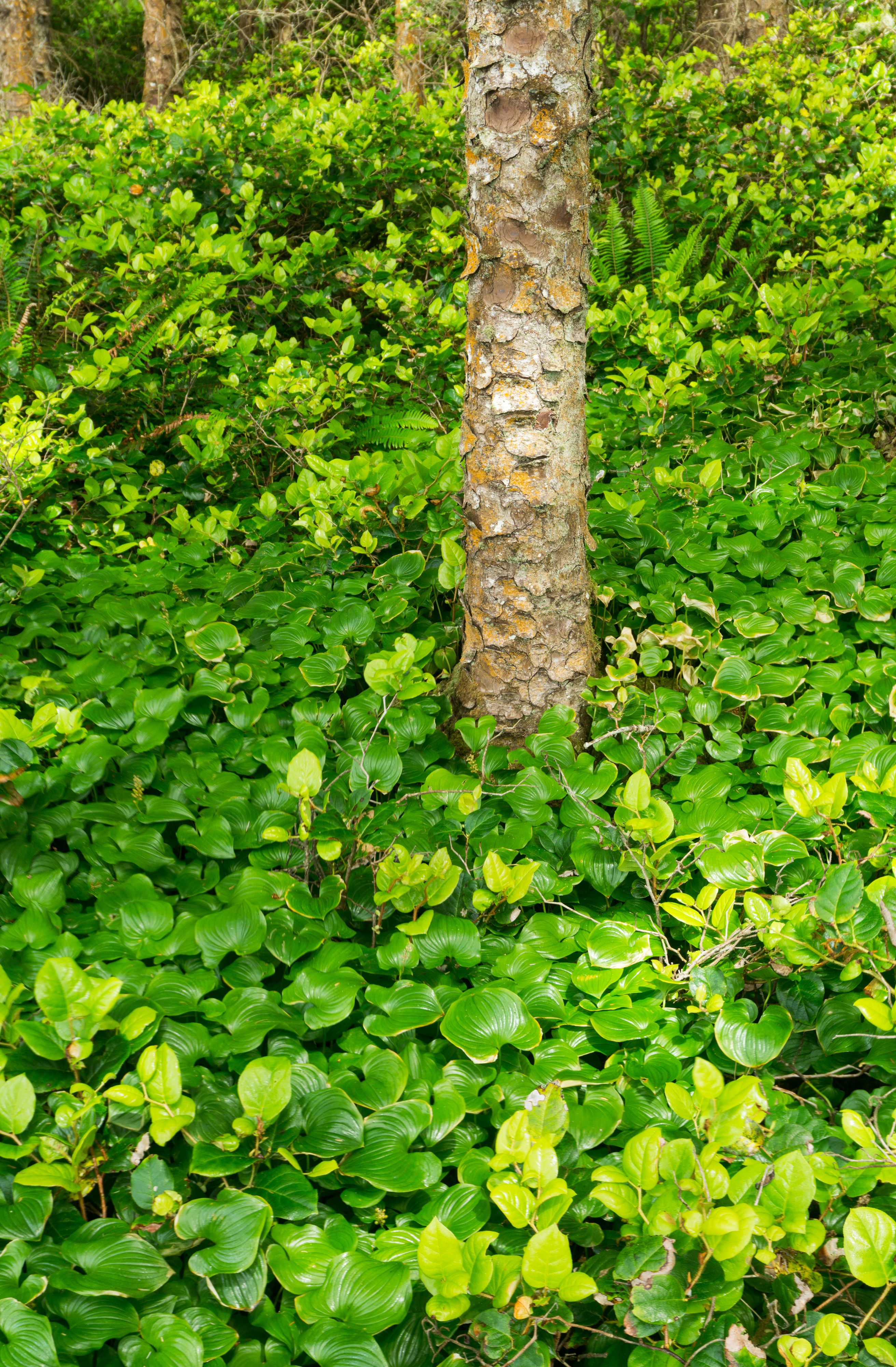
Picea sitchensis (Sitka spruce) 2026-06-21, 3:51 p.m.

2026-06-21, 3:57 p.m.
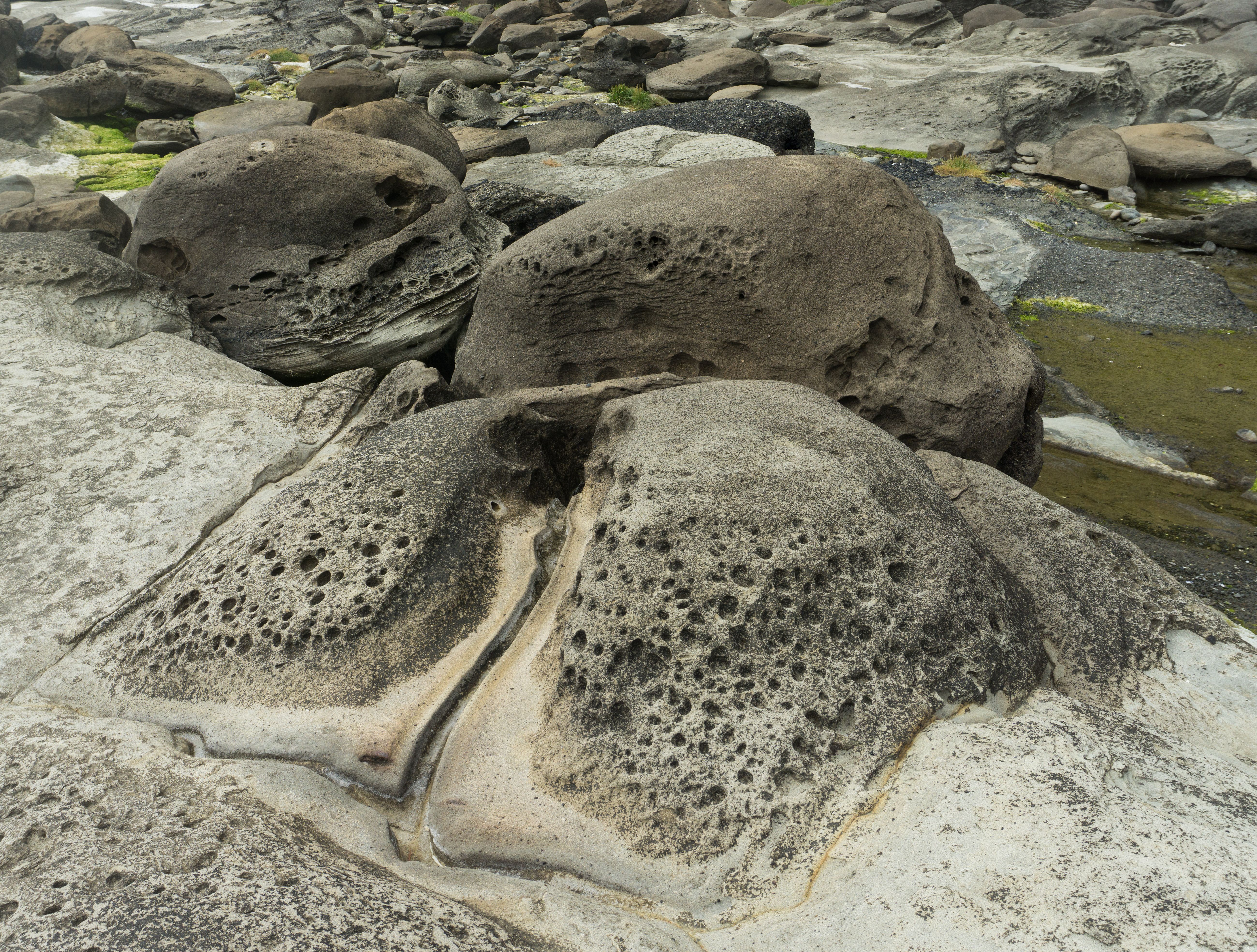
2026-06-21, 4:07 p.m.

2026-06-21, 4:09 p.m.

2026-06-21, 4:13 p.m.
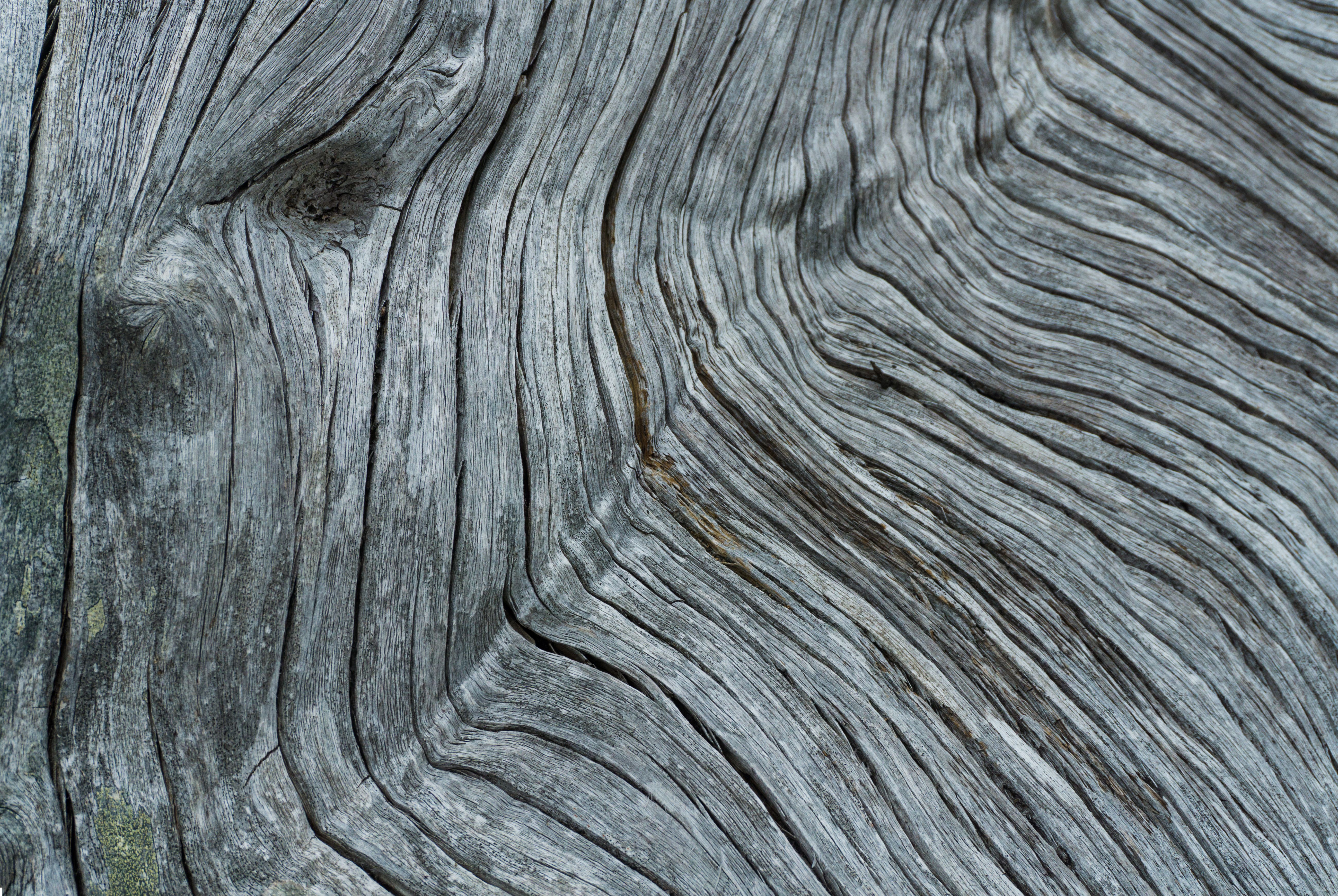
2026-06-21, 4:15 p.m.
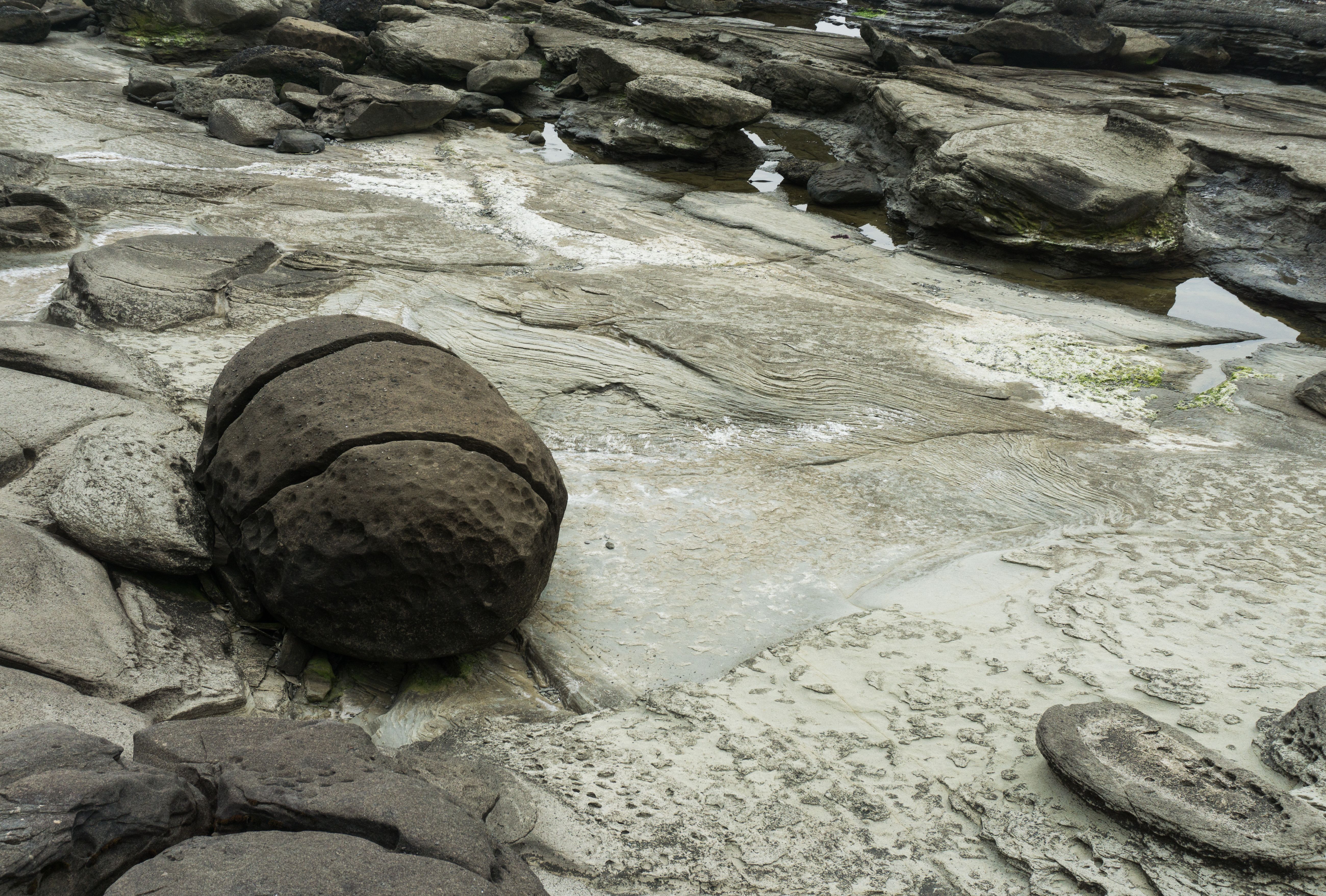
2026-06-21, 4:20 p.m.

2026-06-21, 4:17 p.m.
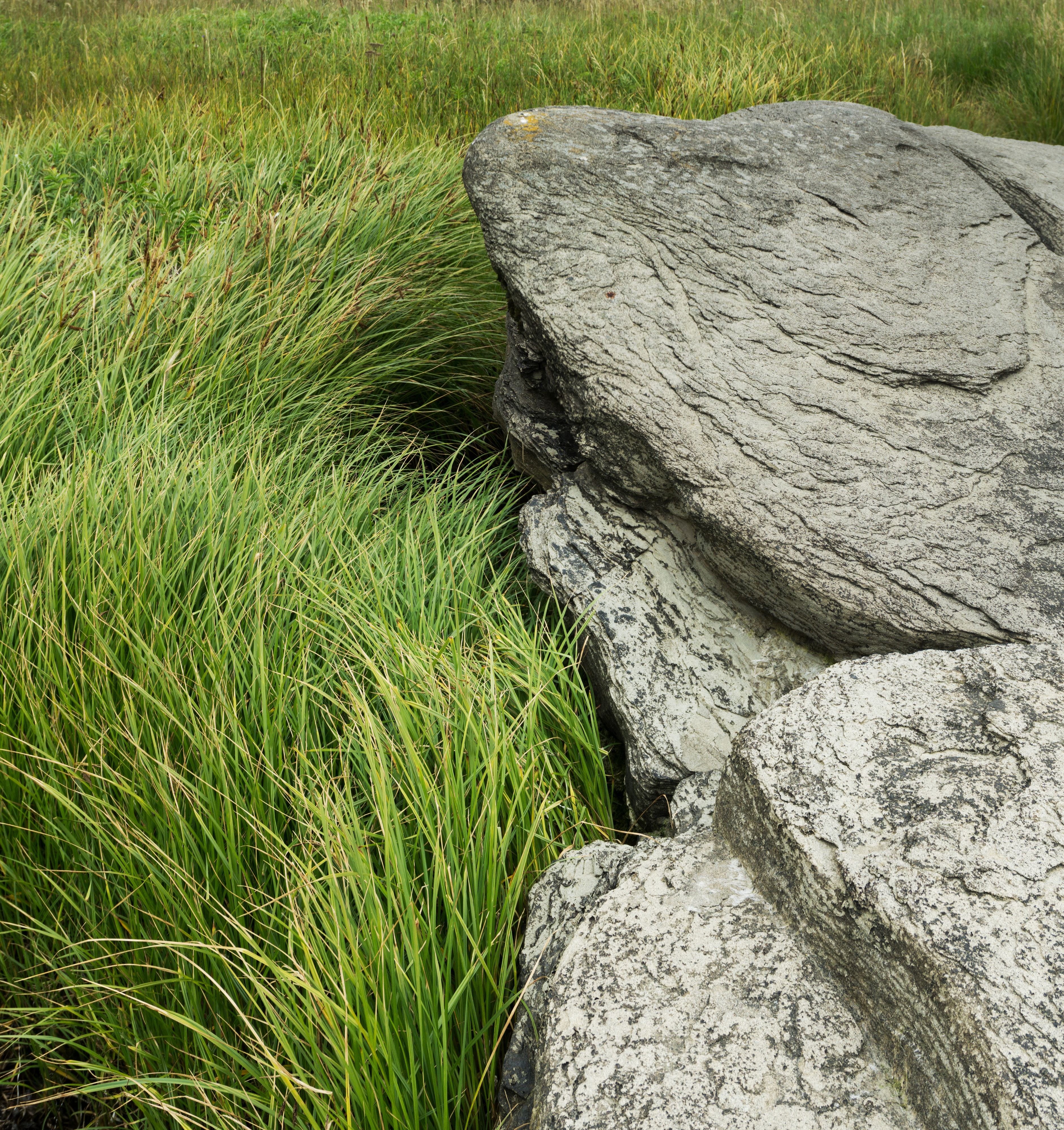
2026-06-21, 4:27 p.m.
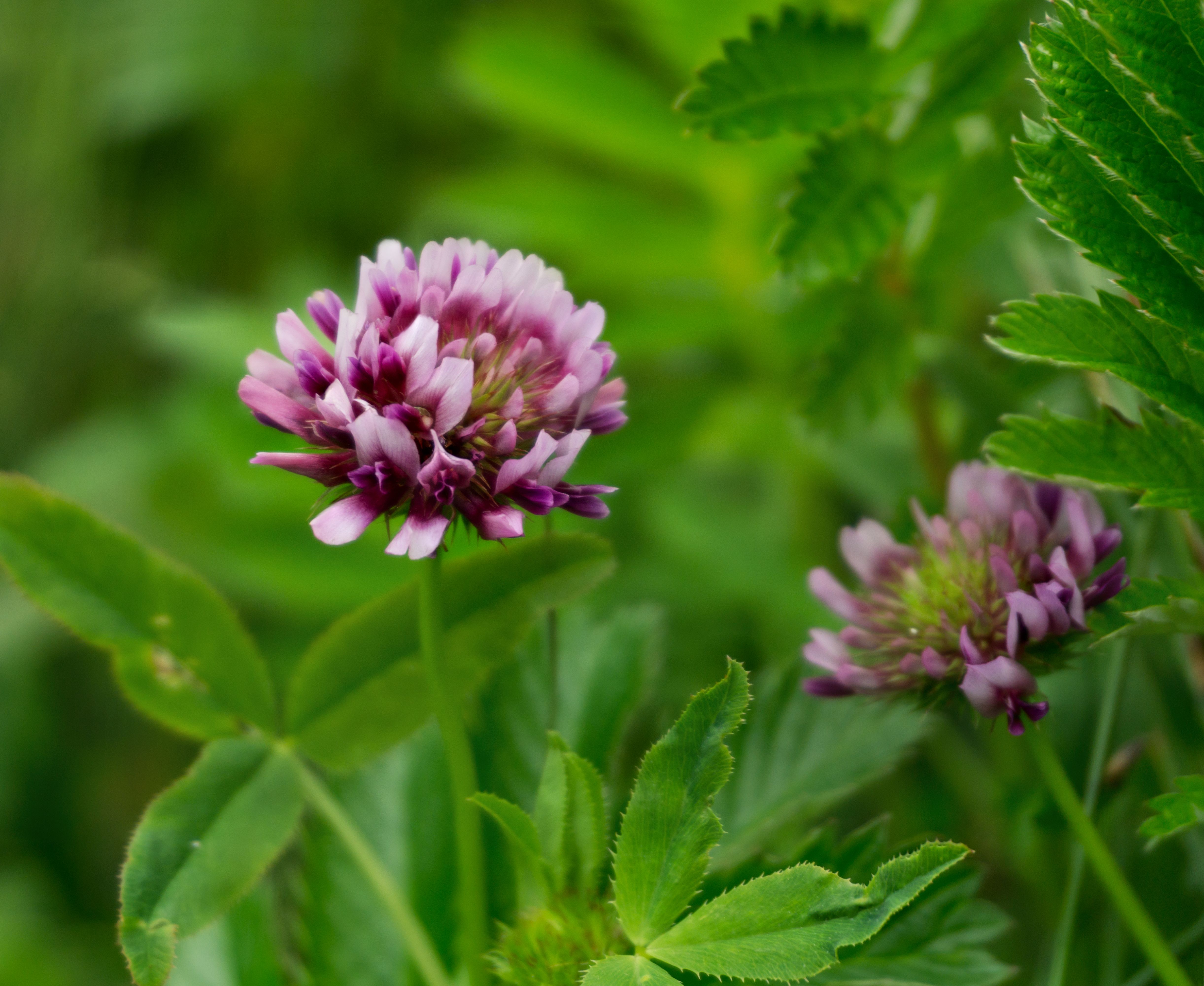
2026-06-21, 4:31 p.m.
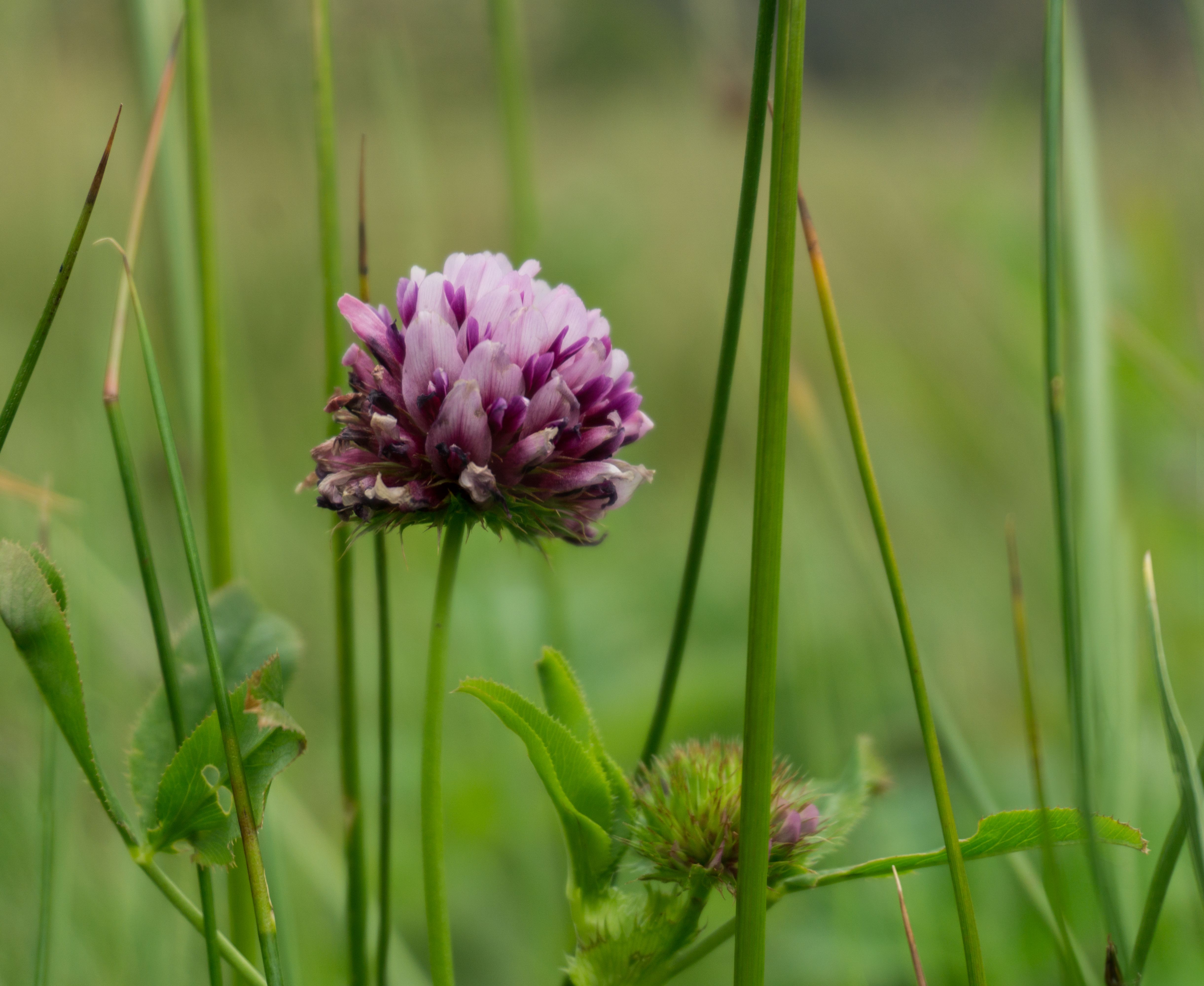
2026-06-21, 4:32 p.m.
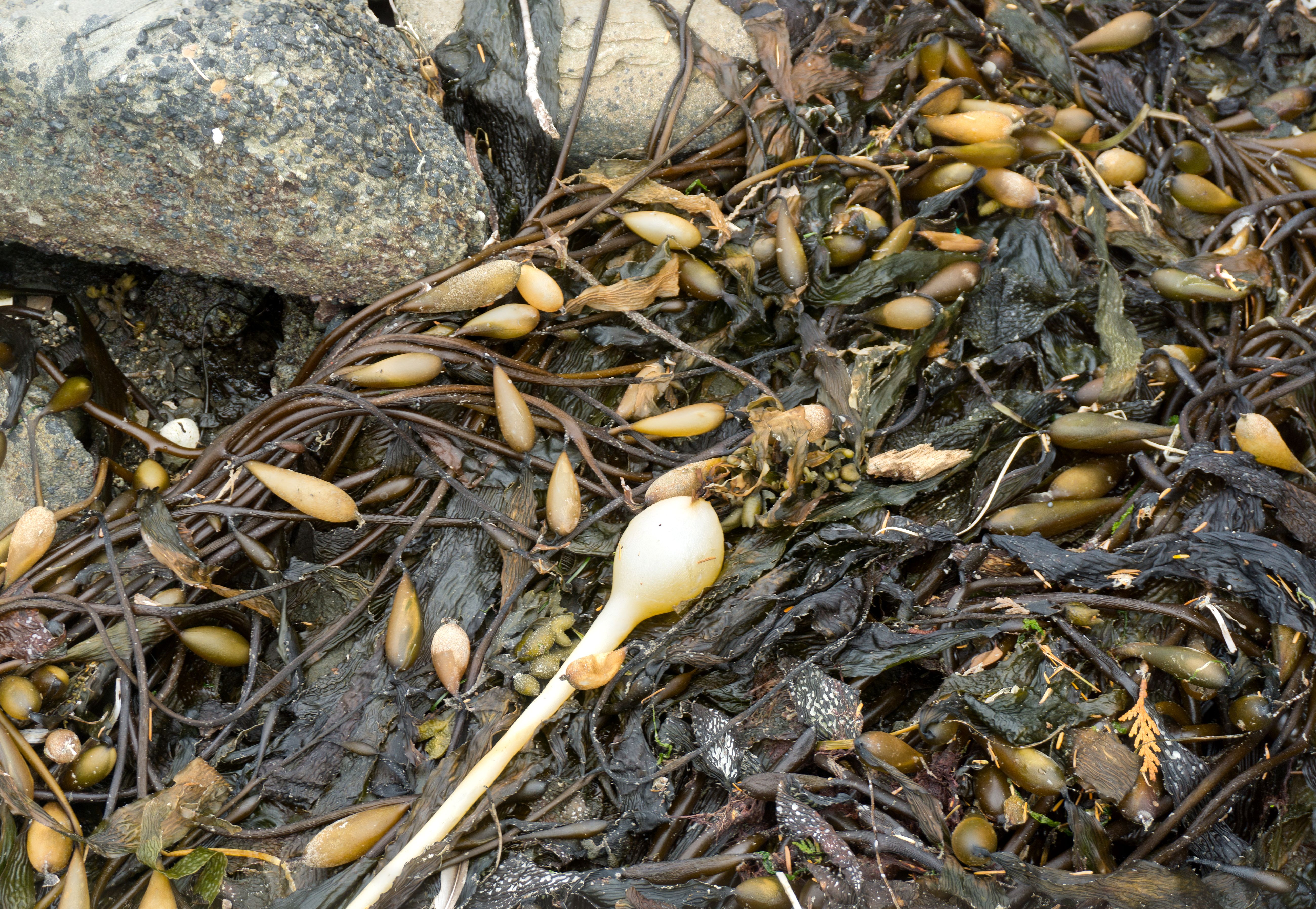
2026-06-21, 4:51 p.m.
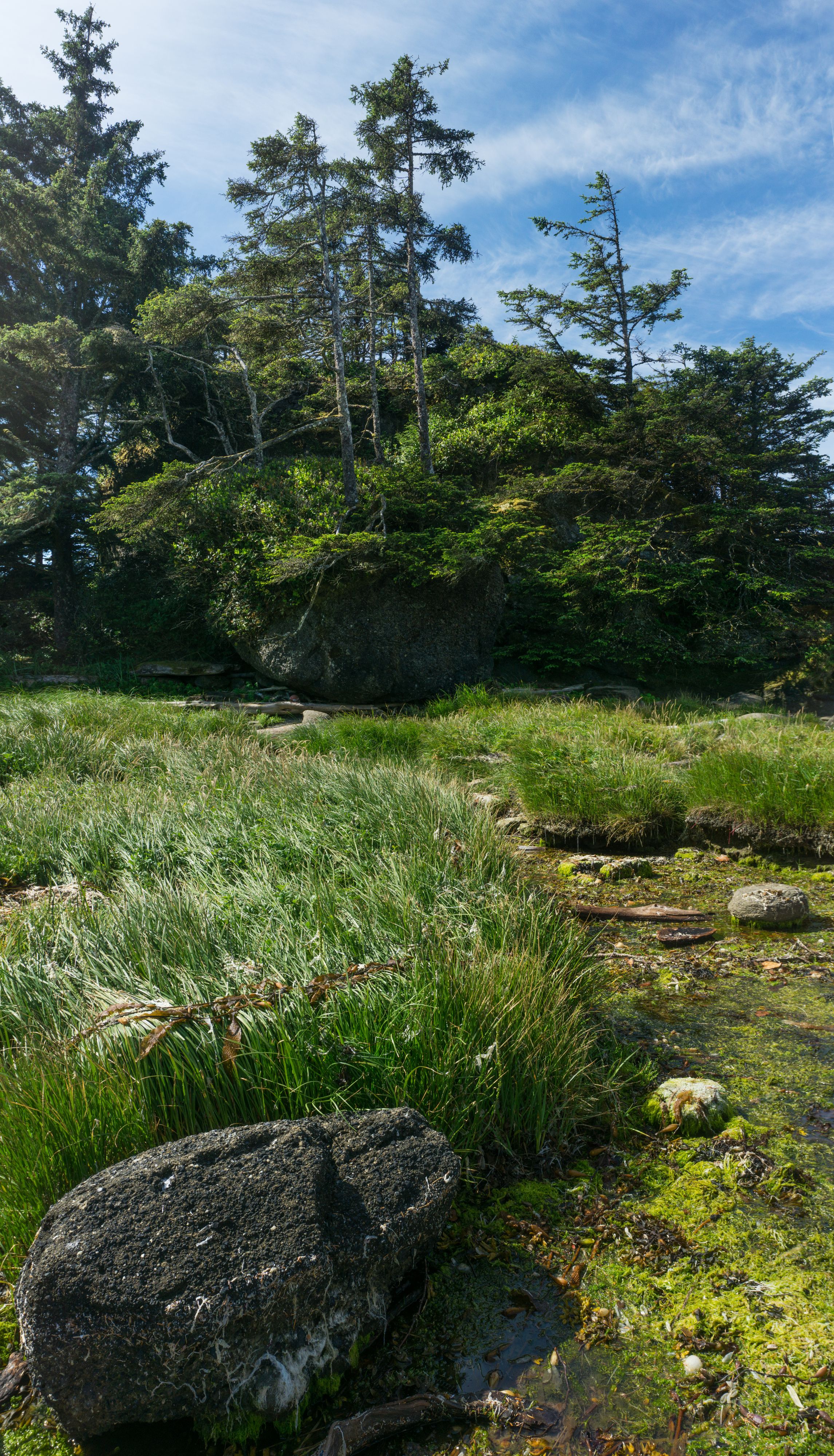
Day 3 2026-06-22, 10:39 a.m.

2026-06-22, 11:18 a.m.
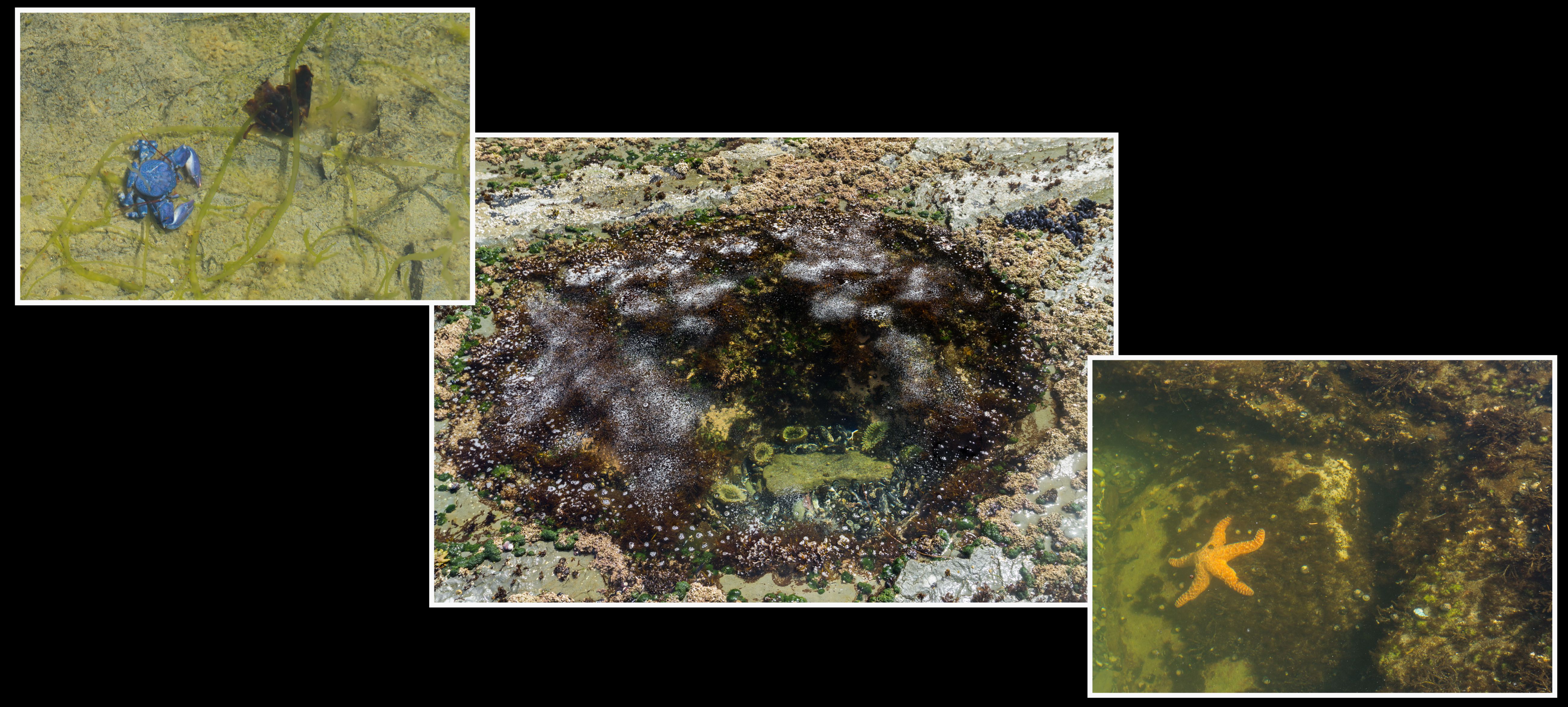
2026-06-22, 11:41 a.m.
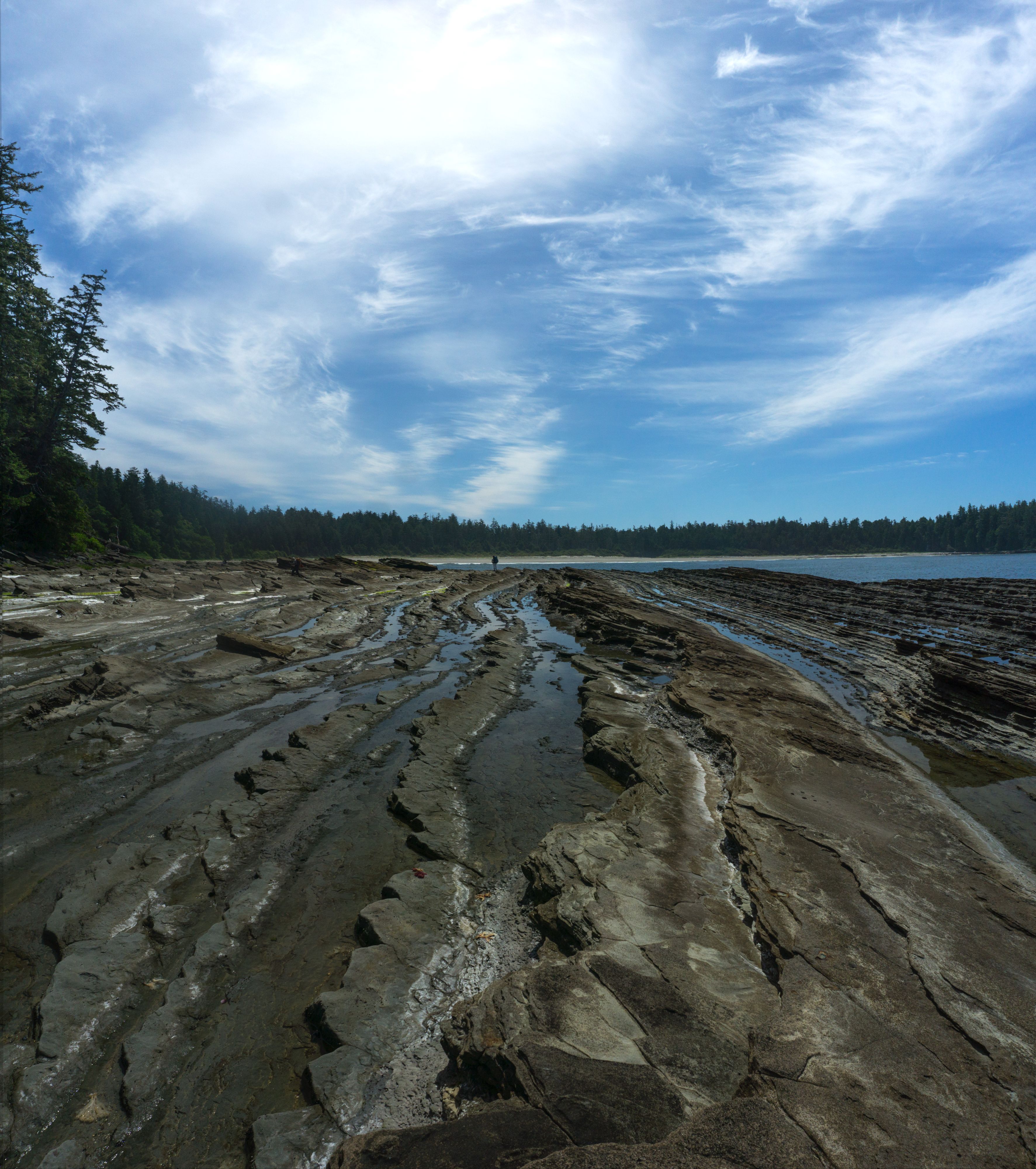
2026-06-22, 11:58 a.m.
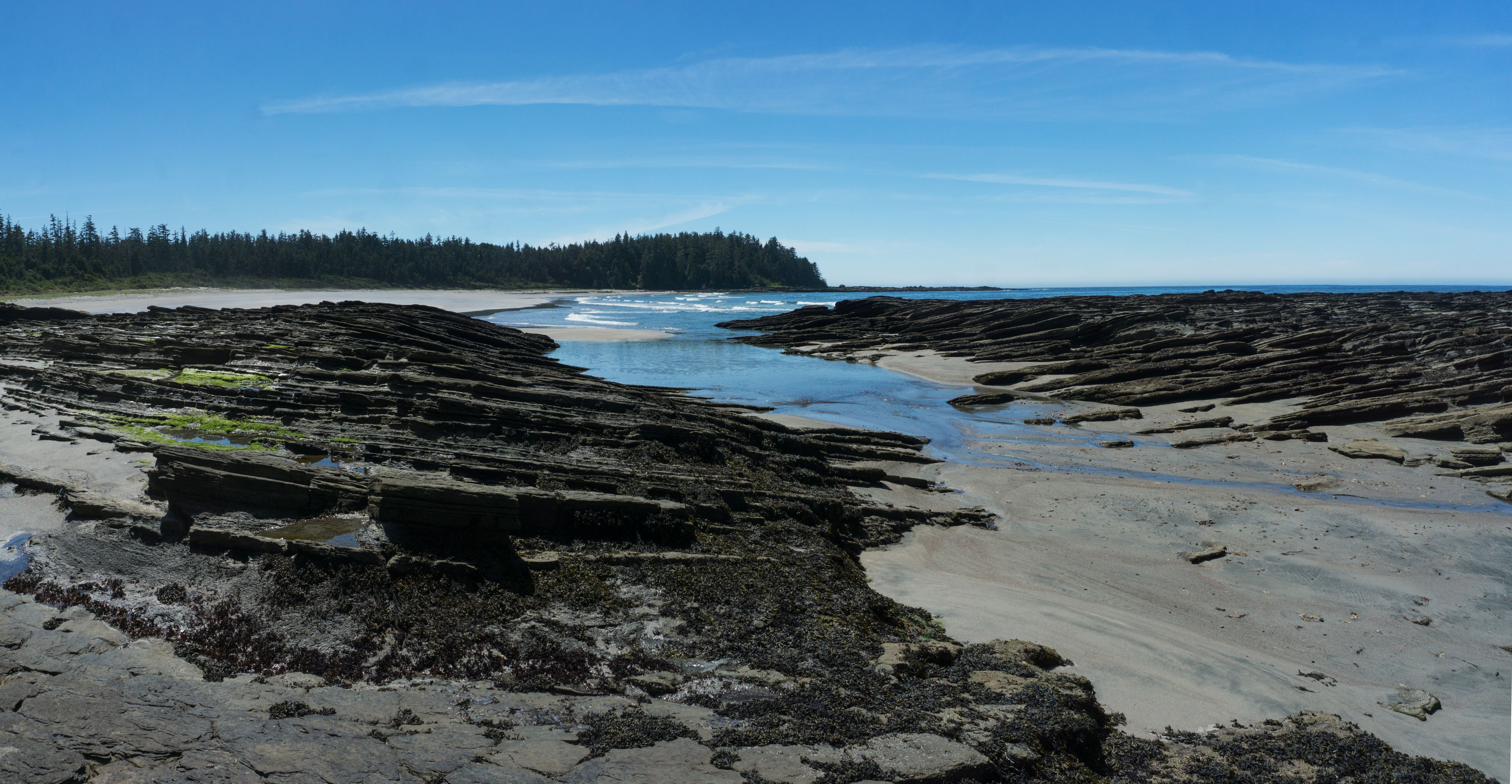
Barcester Bay 2026-06-22, 1:20 p.m.
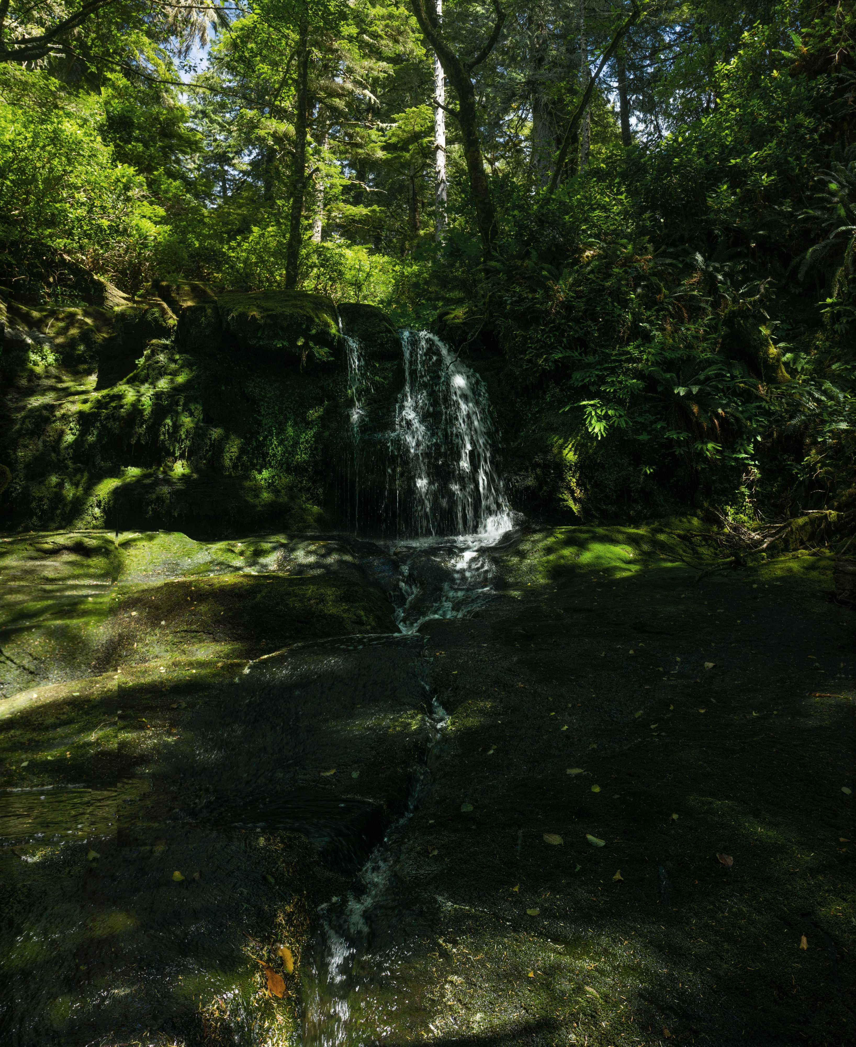
waterfall at Barcester Bay 2026-06-22, 1:04 p.m.
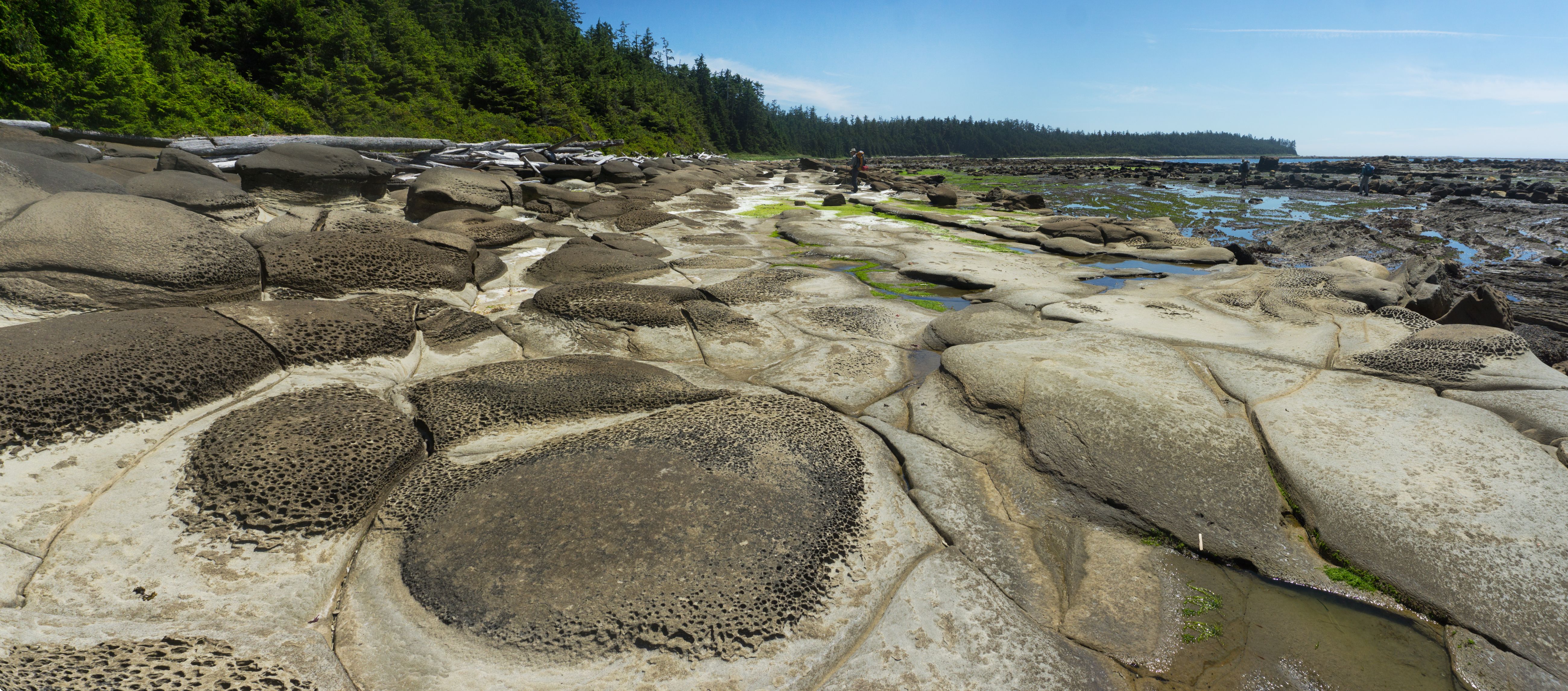
2026-06-22, 2:23 p.m.
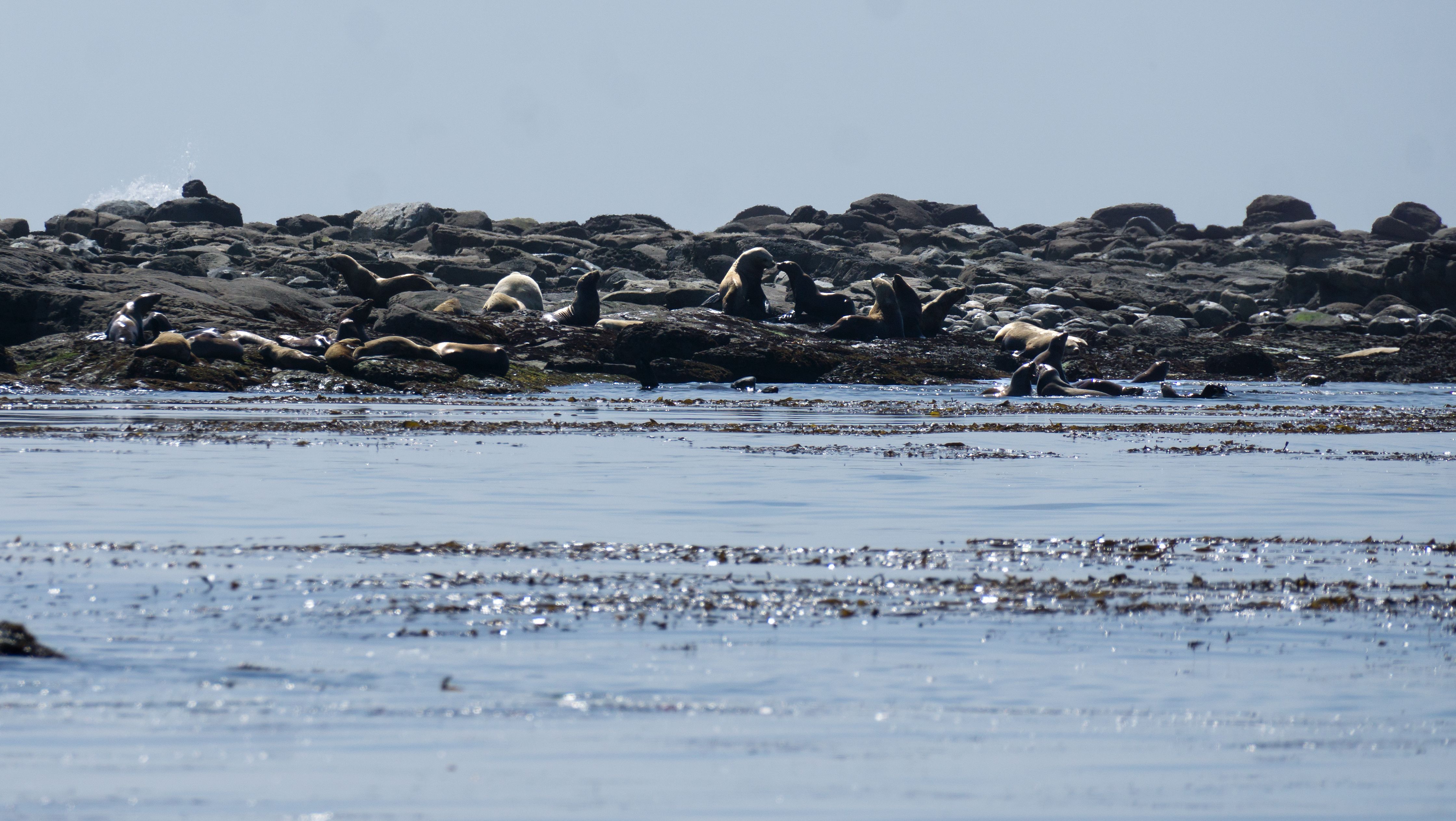
sea lion 500m off shore (through that 70-350mm f/4.5-6.3 lens) 2026-06-22, 3:41 p.m.

Eumetopias jubatus (Steller sea lion) 2026-06-22, 3:44 p.m.
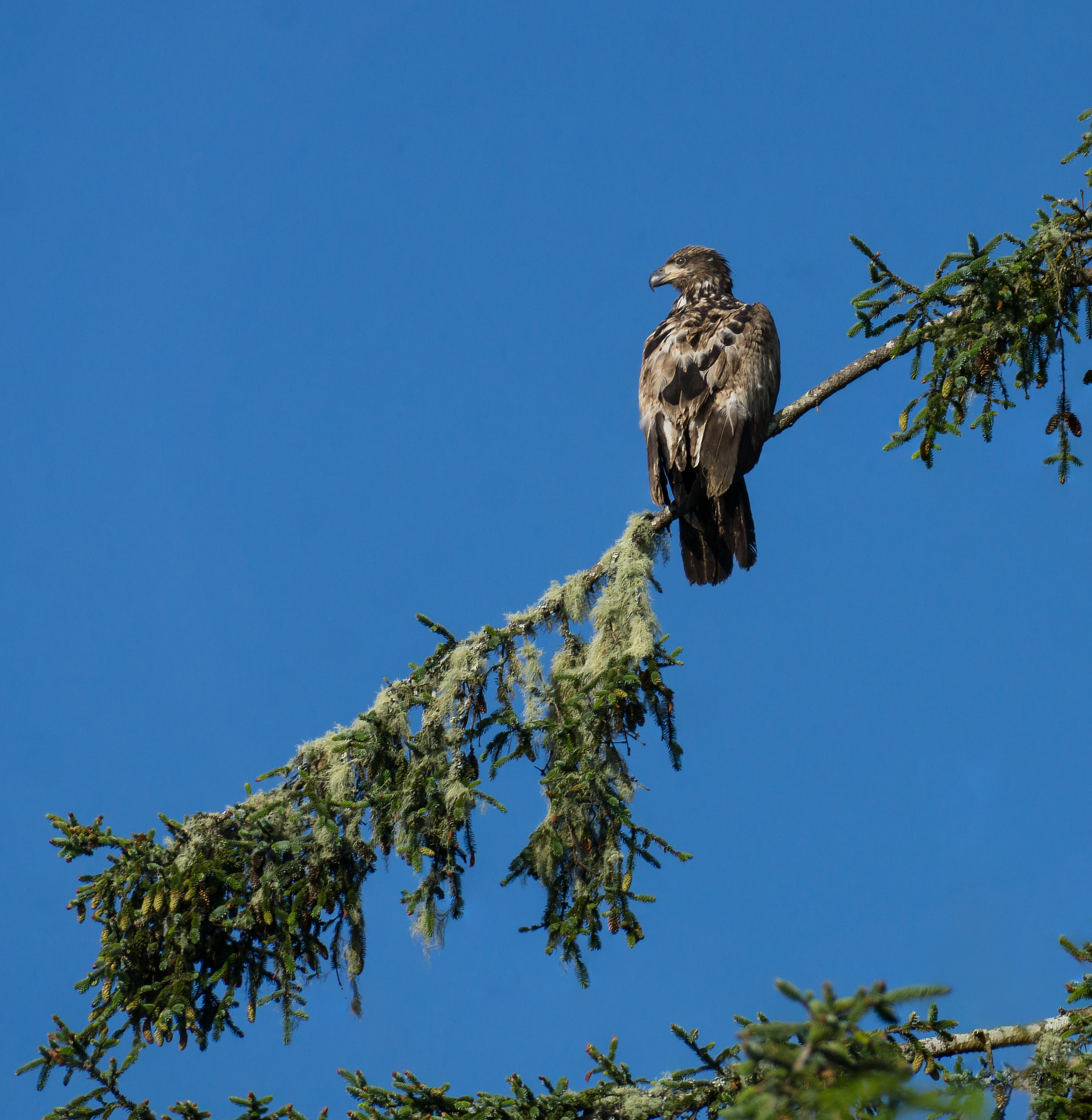
Haliaeetus leucocephalus (young bald eagle) 2026-06-22, 6:50 p.m.
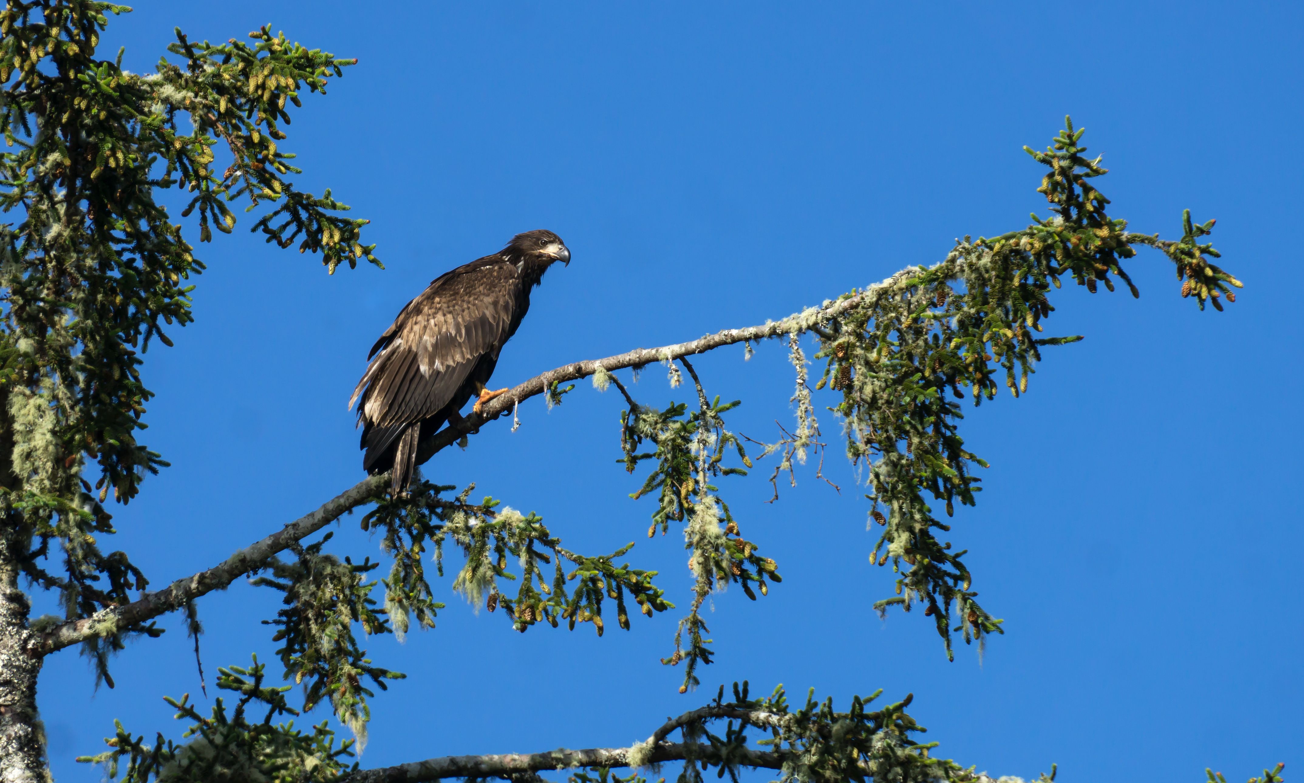
2026-06-22, 6:51 p.m.

Haliaeetus leucocephalus (bald eaglet) I'm happy to have brought the long lens. 2026-06-22, 6:56 p.m.

sunset at camp north of Homaise Cove (N49.41382° W126.57214°) 2026-06-22, 9:46 p.m.

2026-06-22, 9:53 p.m.
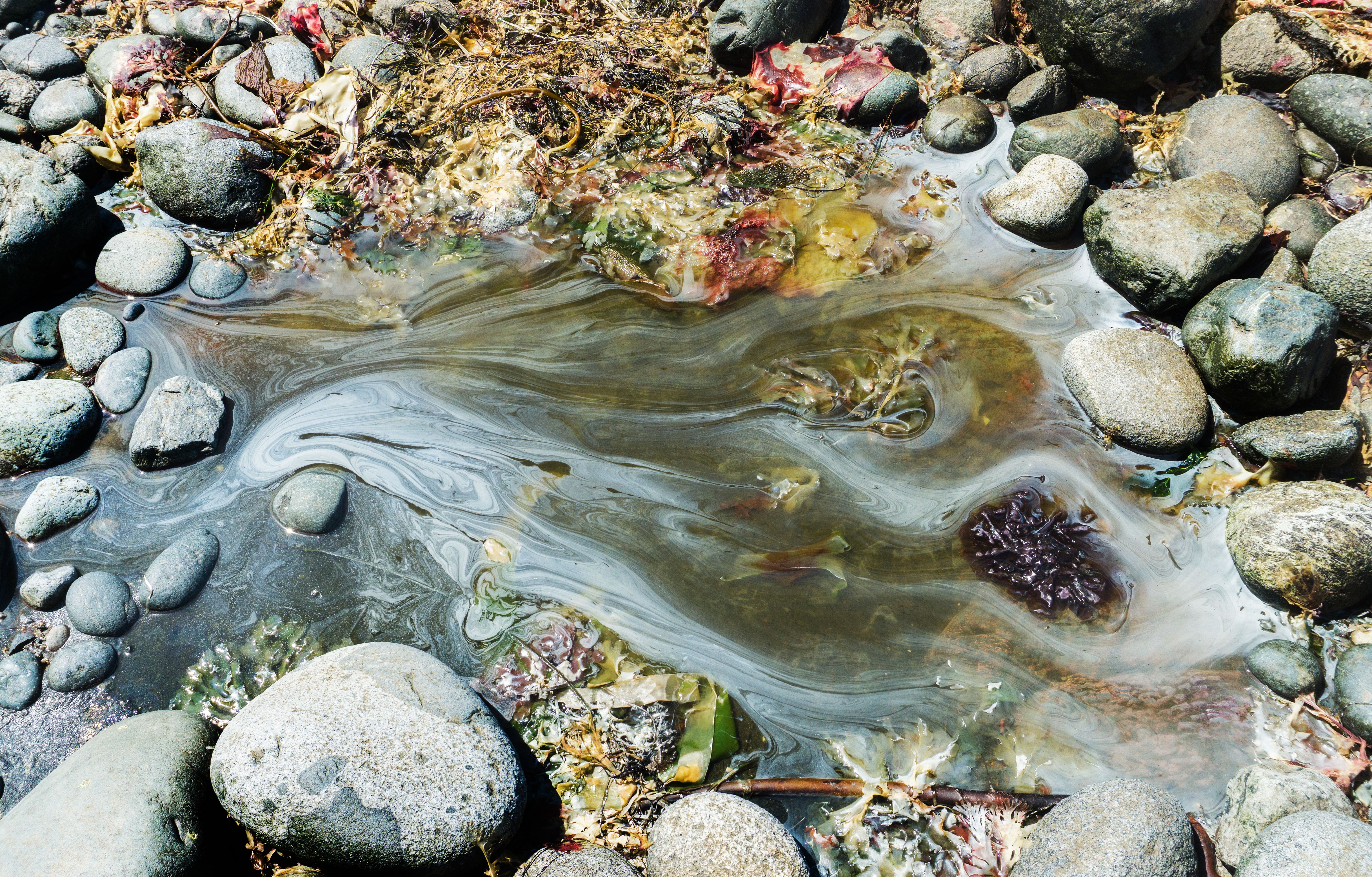
Day 4: Homais Cove to Estevan Pt. to Smokehouse Bay 2026-06-23, 12:07 p.m.
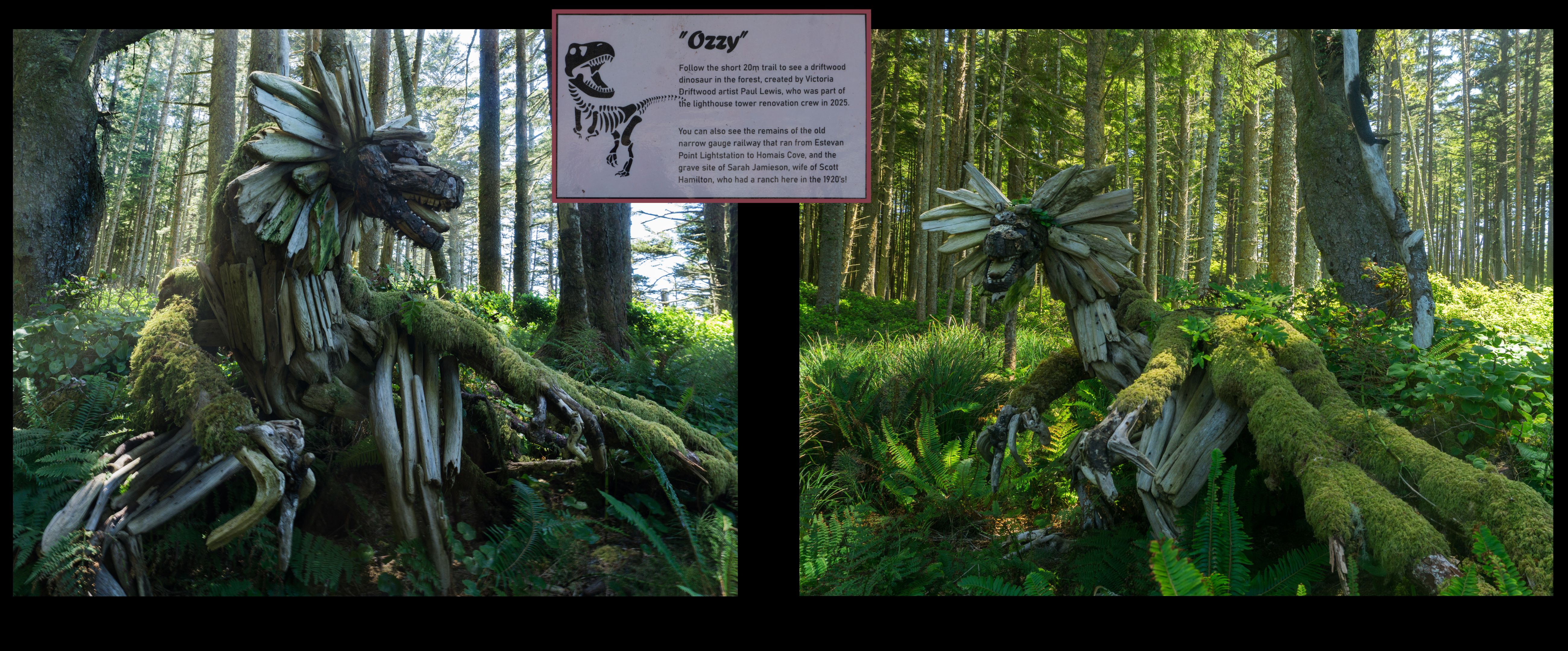
2026-06-23, 1:15 p.m.

Estevan Lighthouse 2026-06-23, 3:51 p.m.

the notorious boulder field at Estevan Point 2026-06-23, 3:57 p.m.

Moon dog at Smokehouse Bay camp forebodes a change in the weather! 2026-06-23, 8:40 p.m.
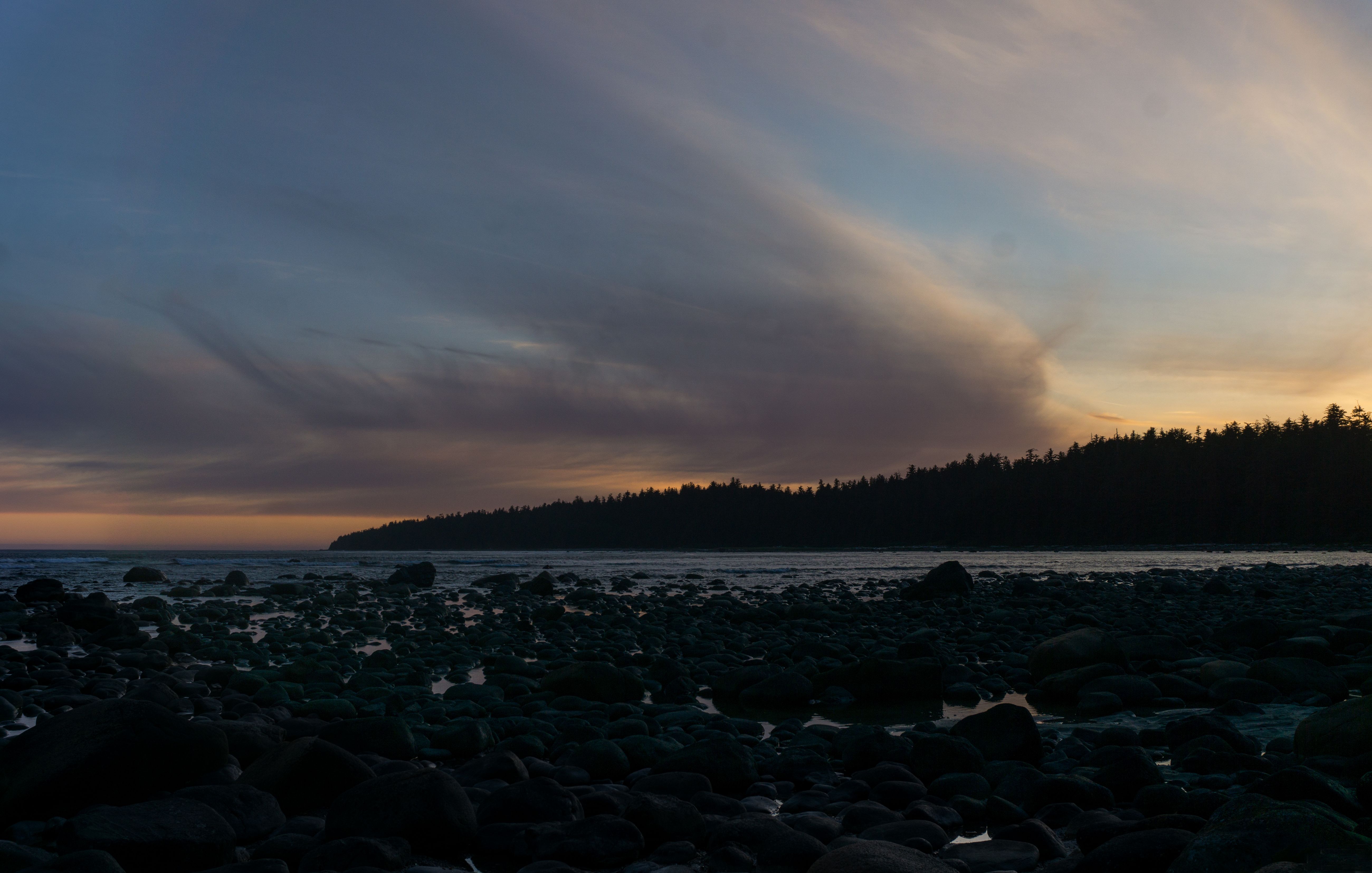
2026-06-23, 9:35 p.m.

Day 5: More boulders as we head to Hesquiat village and Antons Spit 2026-06-24, 10:22 a.m.
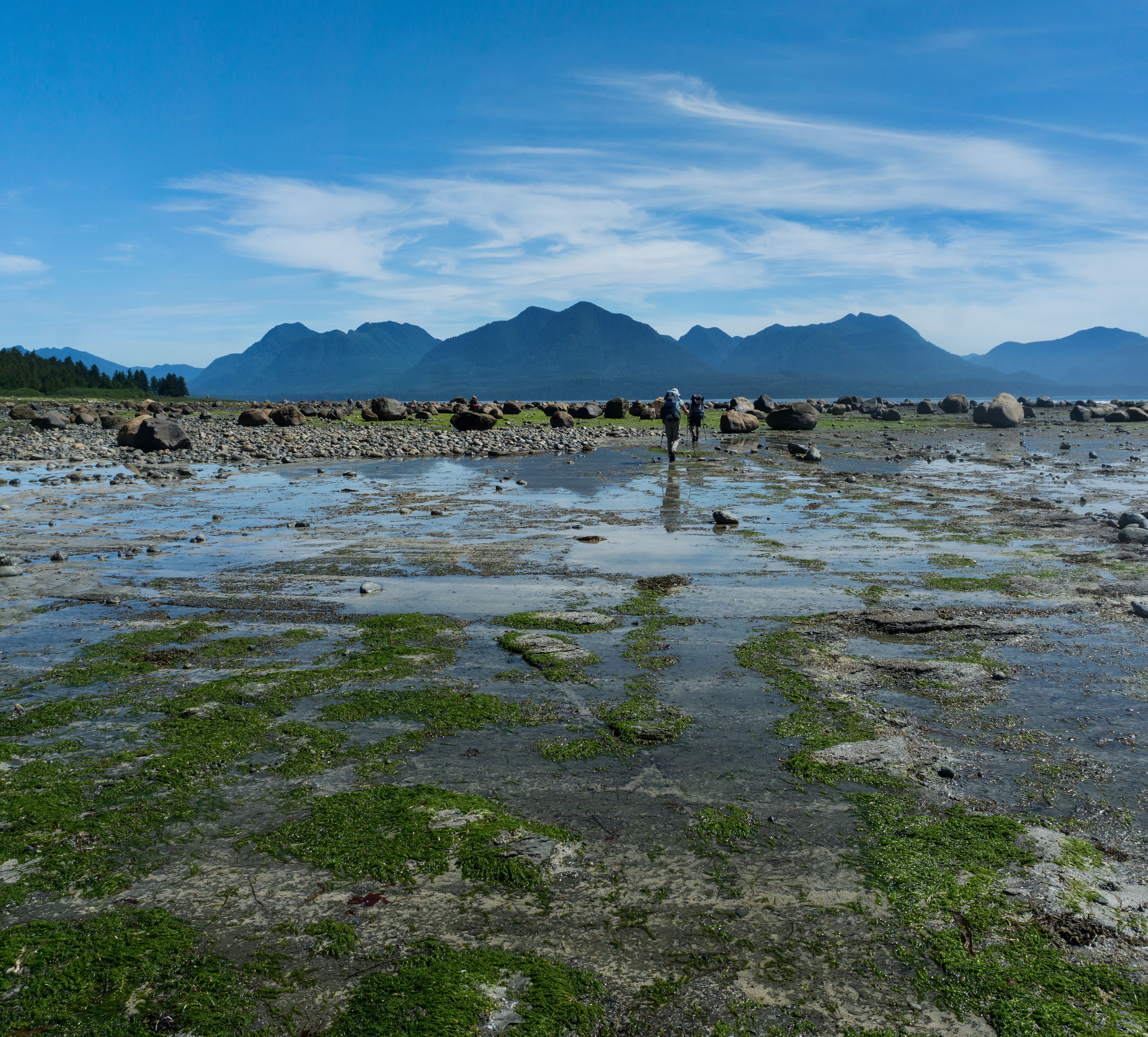
a repreive from the boulders 2026-06-24, 11:12 a.m.

2026-06-24, 11:47 a.m.
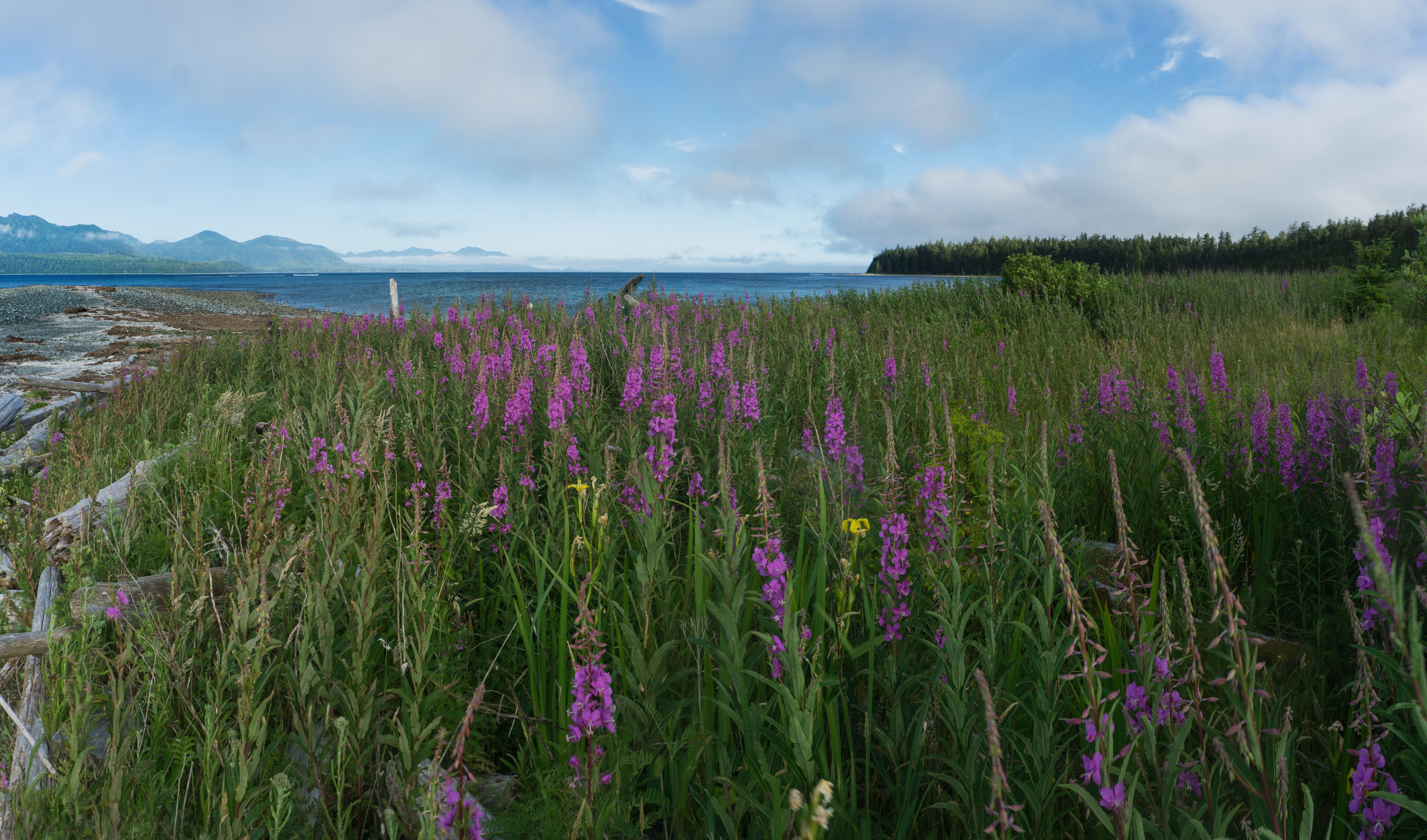
view from Antons Spit (Ignace Campground) 2026-06-24, 6:40 p.m.

240° view of Hesquiat Harbour (from Antons Spit). Note the system coming in from the west (left) and, of course, more boulders! 2026-06-24, 6:39 p.m.

2026-06-24, 6:39 p.m.
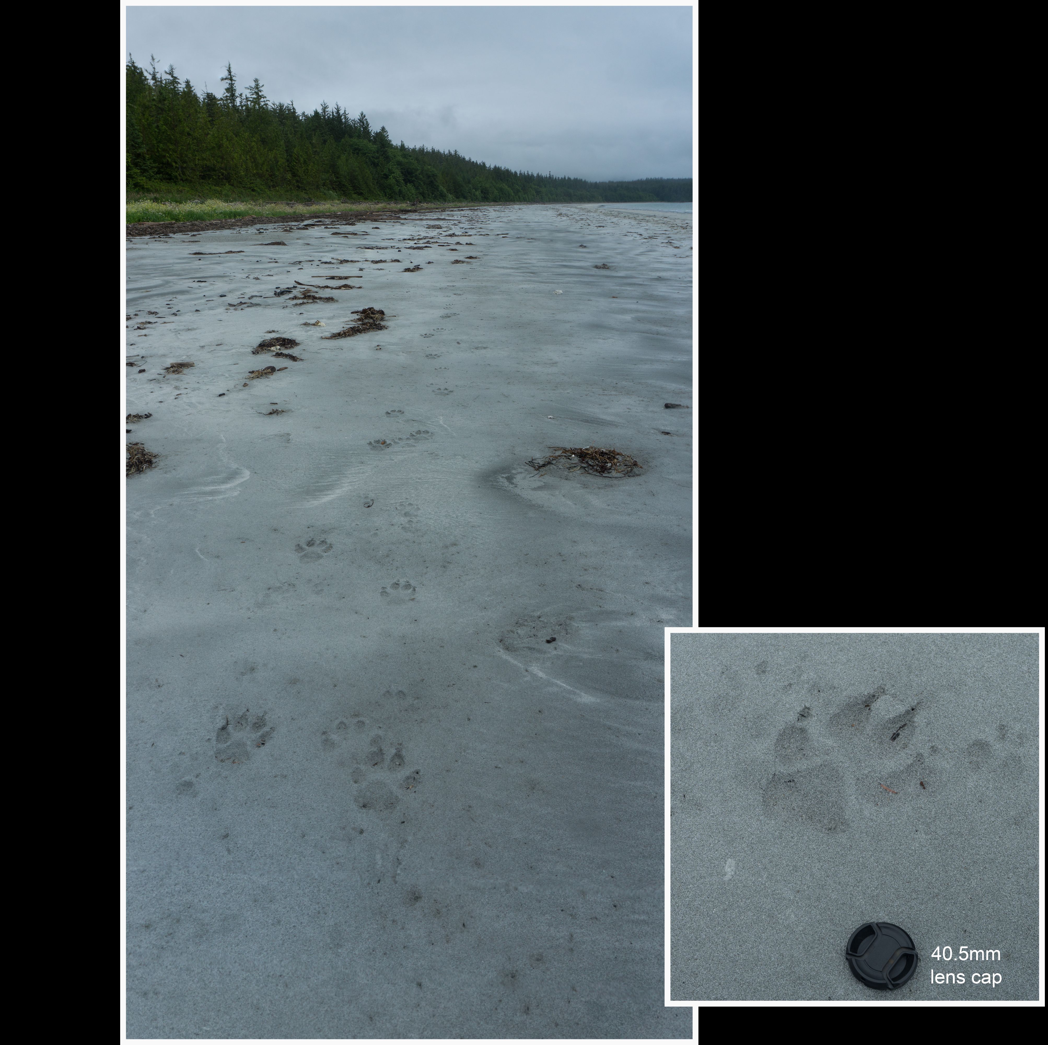
Day 6: A change in the weather is afoot! 2026-06-25, 10:58 a.m.
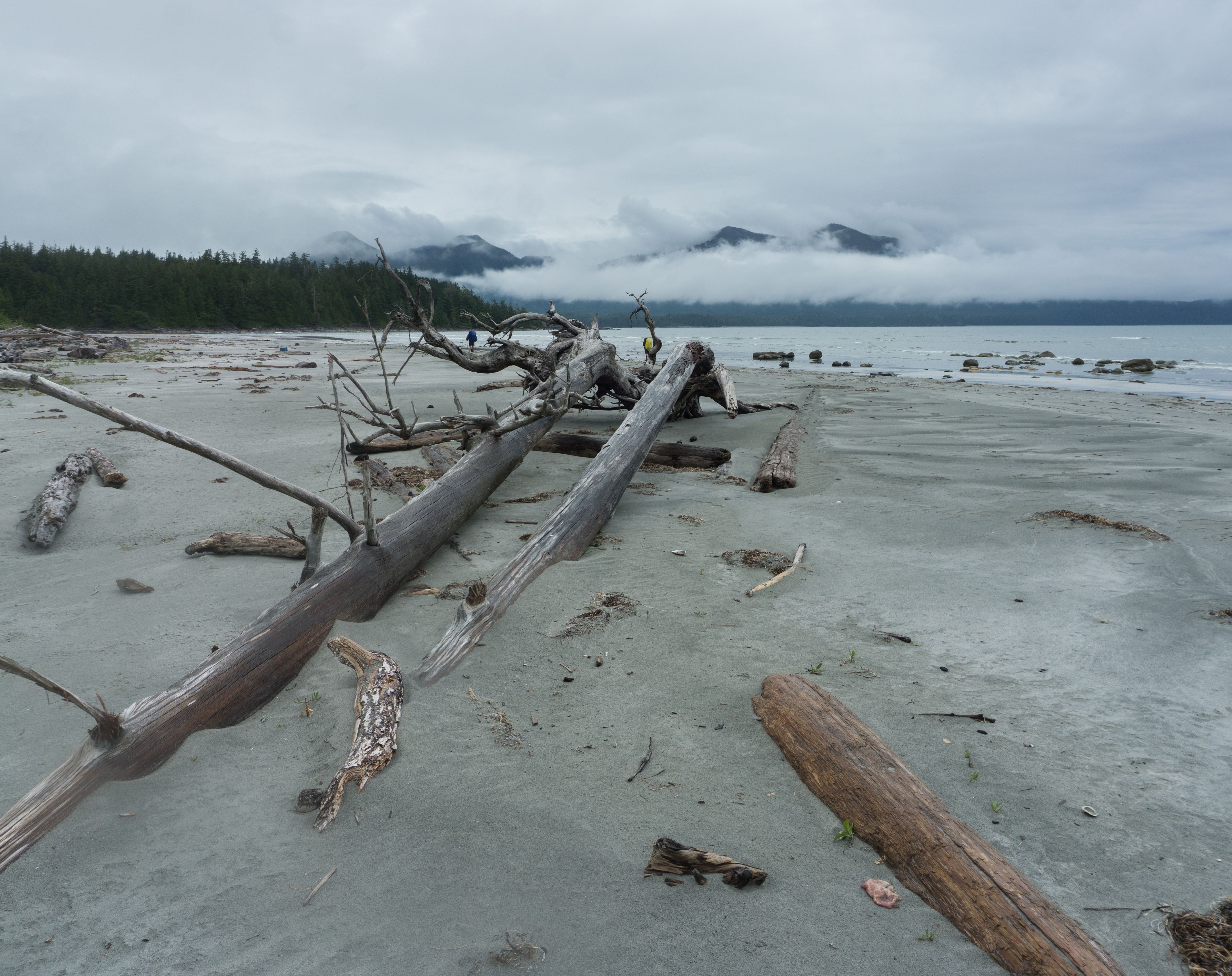
2026-06-25, 12:36 p.m.
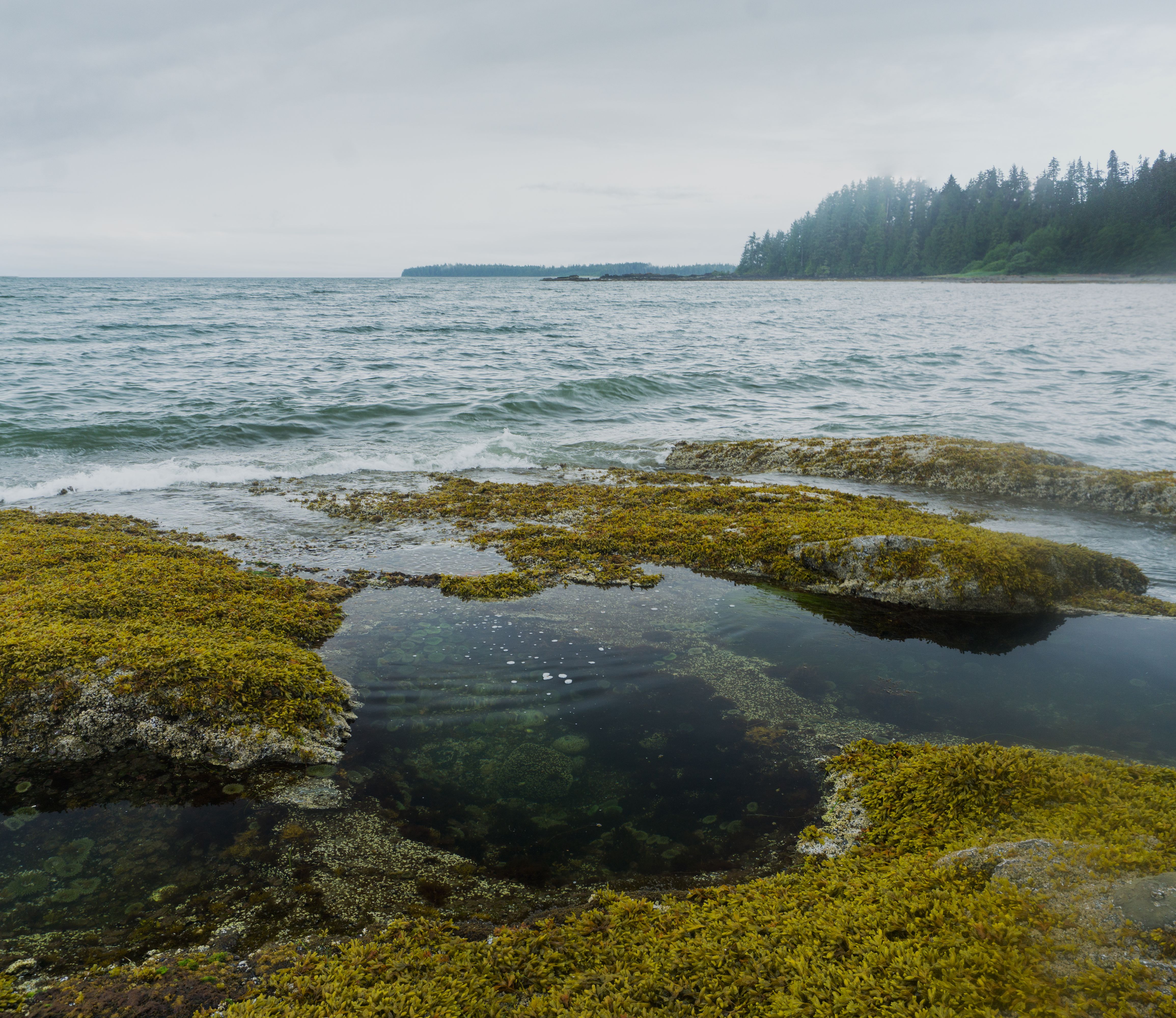
tide pools near the Le Claire Point camp 2026-06-25, 6:20 p.m.

2026-06-25, 6:22 p.m.
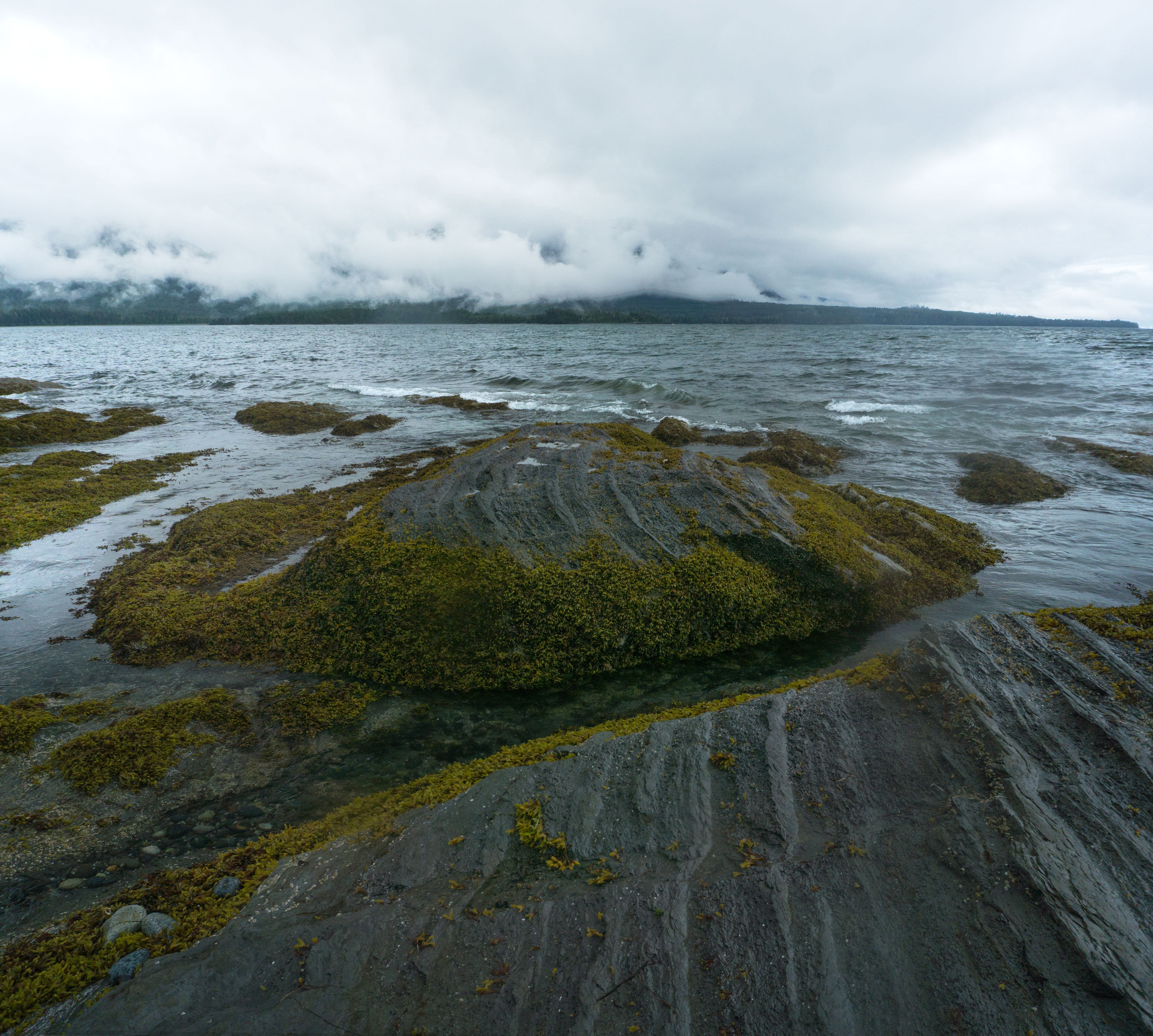
2026-06-25, 6:23 p.m.
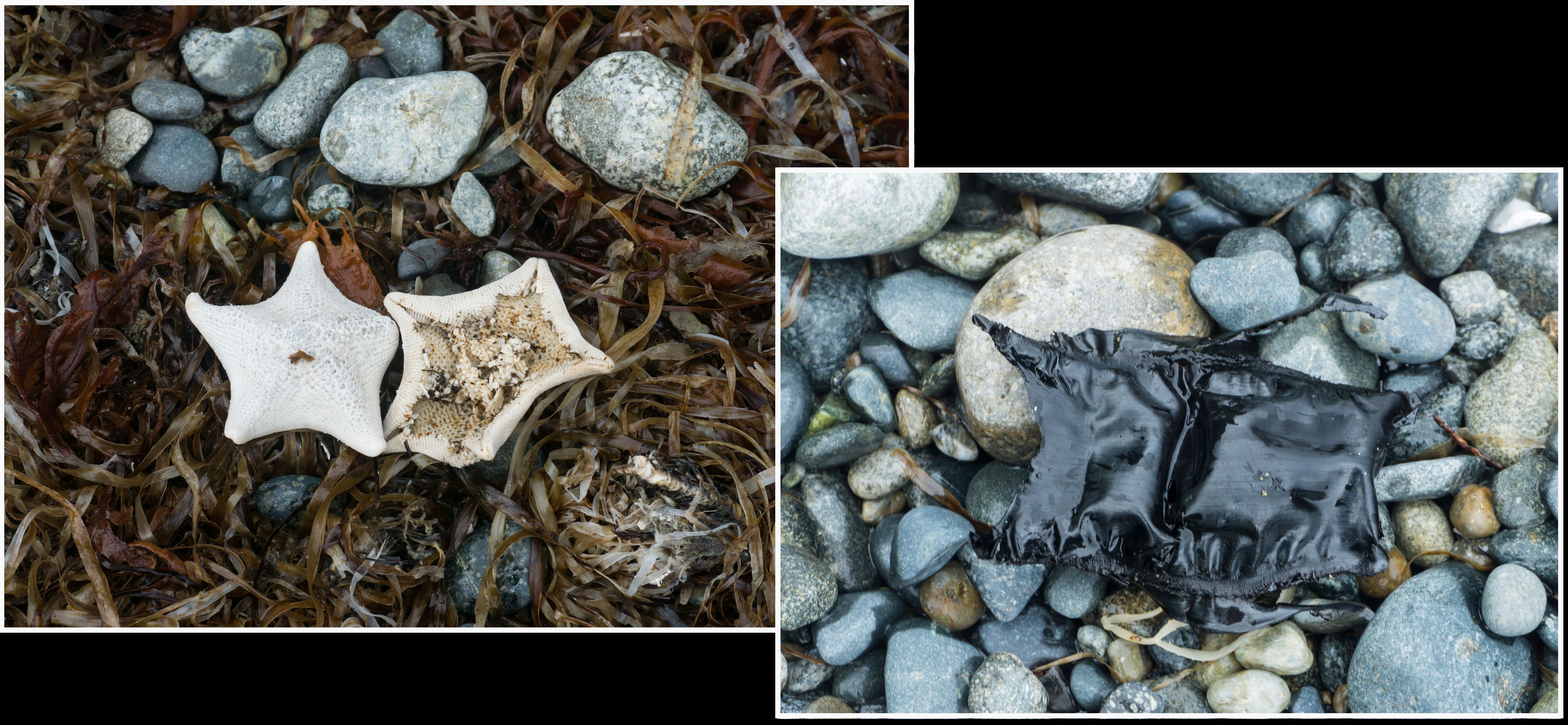
desicated seastars and skate eggcase 2026-06-25, 6:33 p.m.
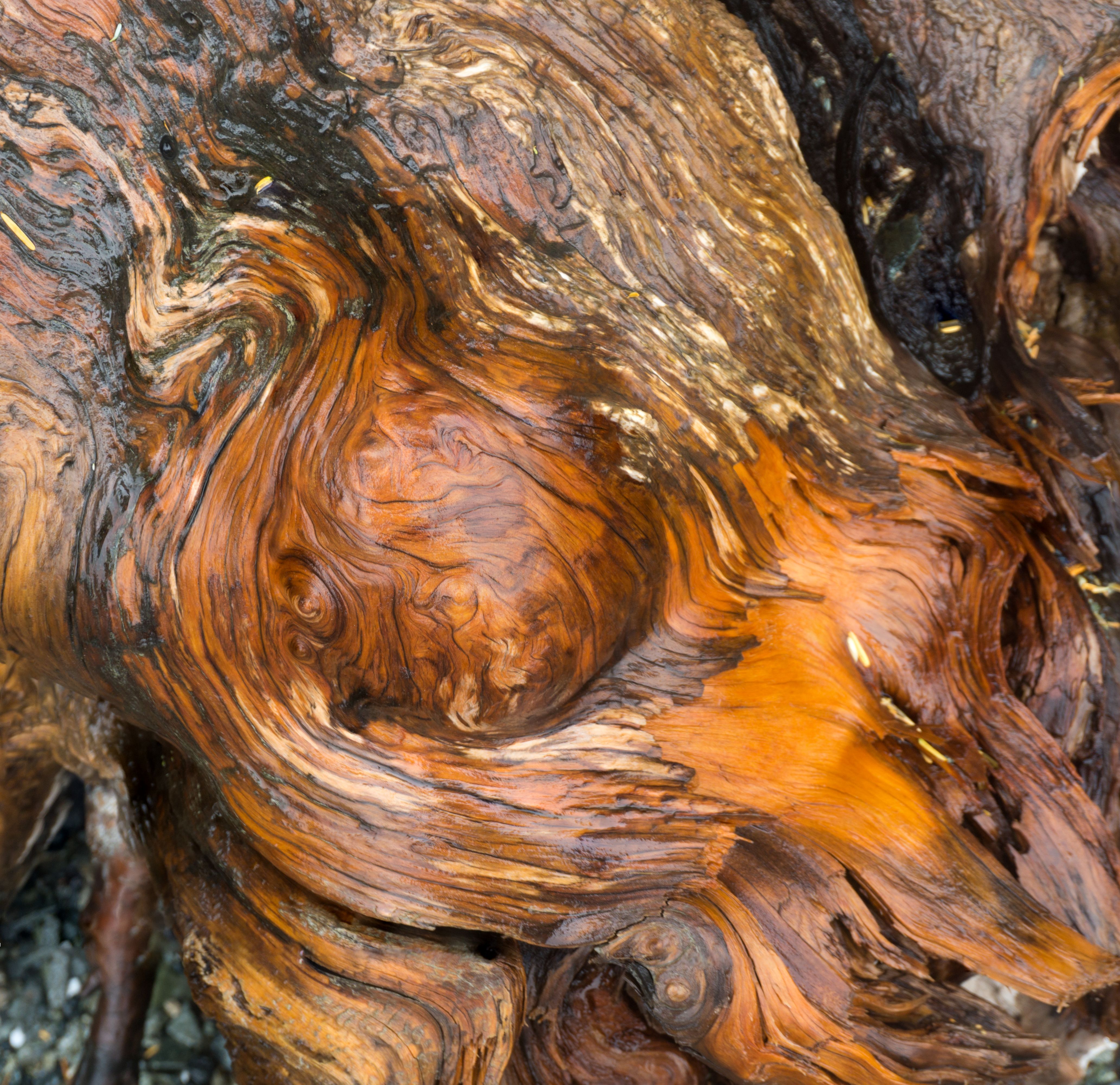
2026-06-26, 11:43 a.m.

Day 7: Worst day of rain. Last photo from the trail. And yes, more boulders! 2026-06-26, 11:42 a.m.
rain has taken its toll on everything, including these results with condensation 2026-06-27, 8:16 a.m.
________________________________________
Copyright © 2005- George G.P. Lum. All Rights Reserved.
photo gallery: www.madlemur.ca
e-mail: lum.gp@telus.net
Copyright © 2005- George G.P. Lum. All Rights Reserved.
photo gallery: www.madlemur.ca
e-mail: lum.gp@telus.net
.